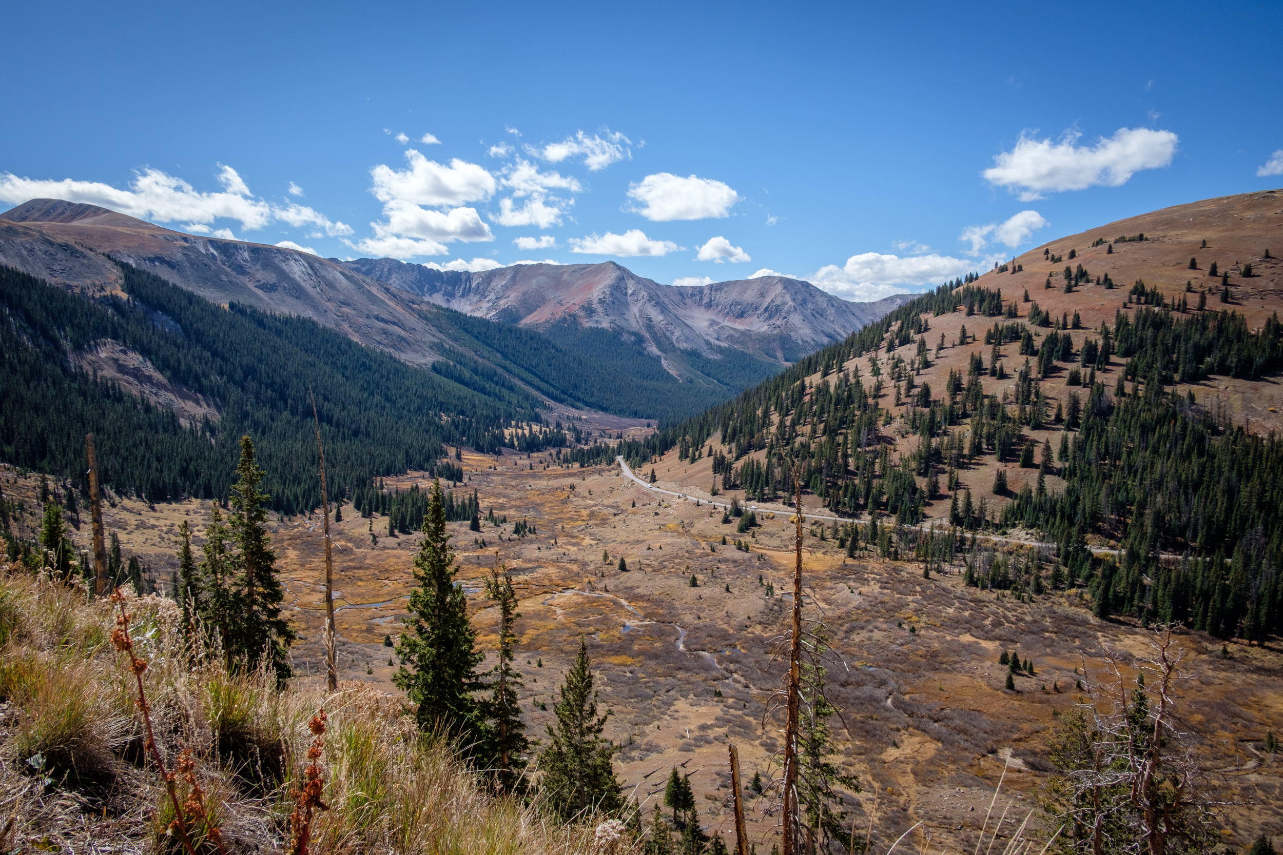
-
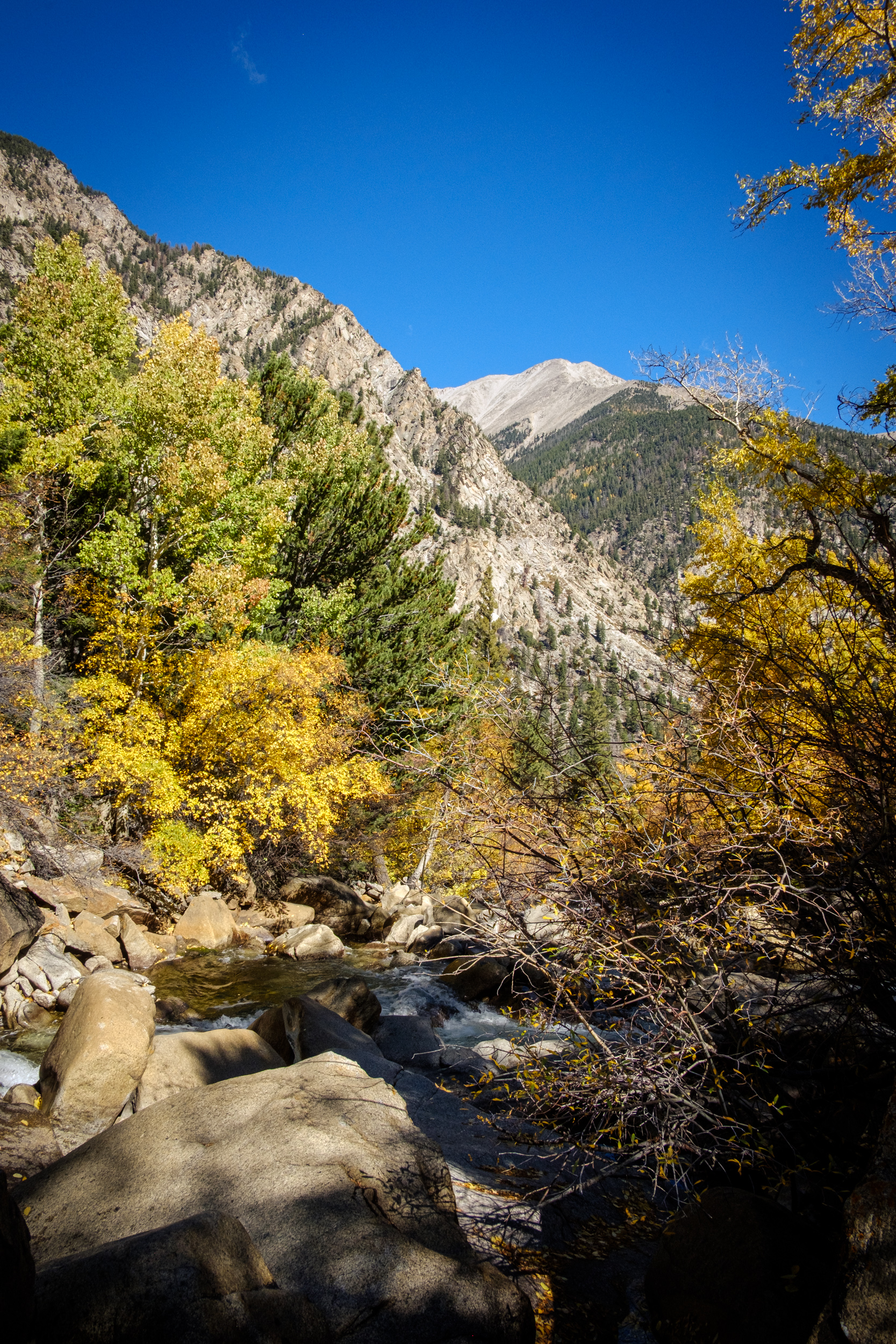
View from the Cascade Creek Trail
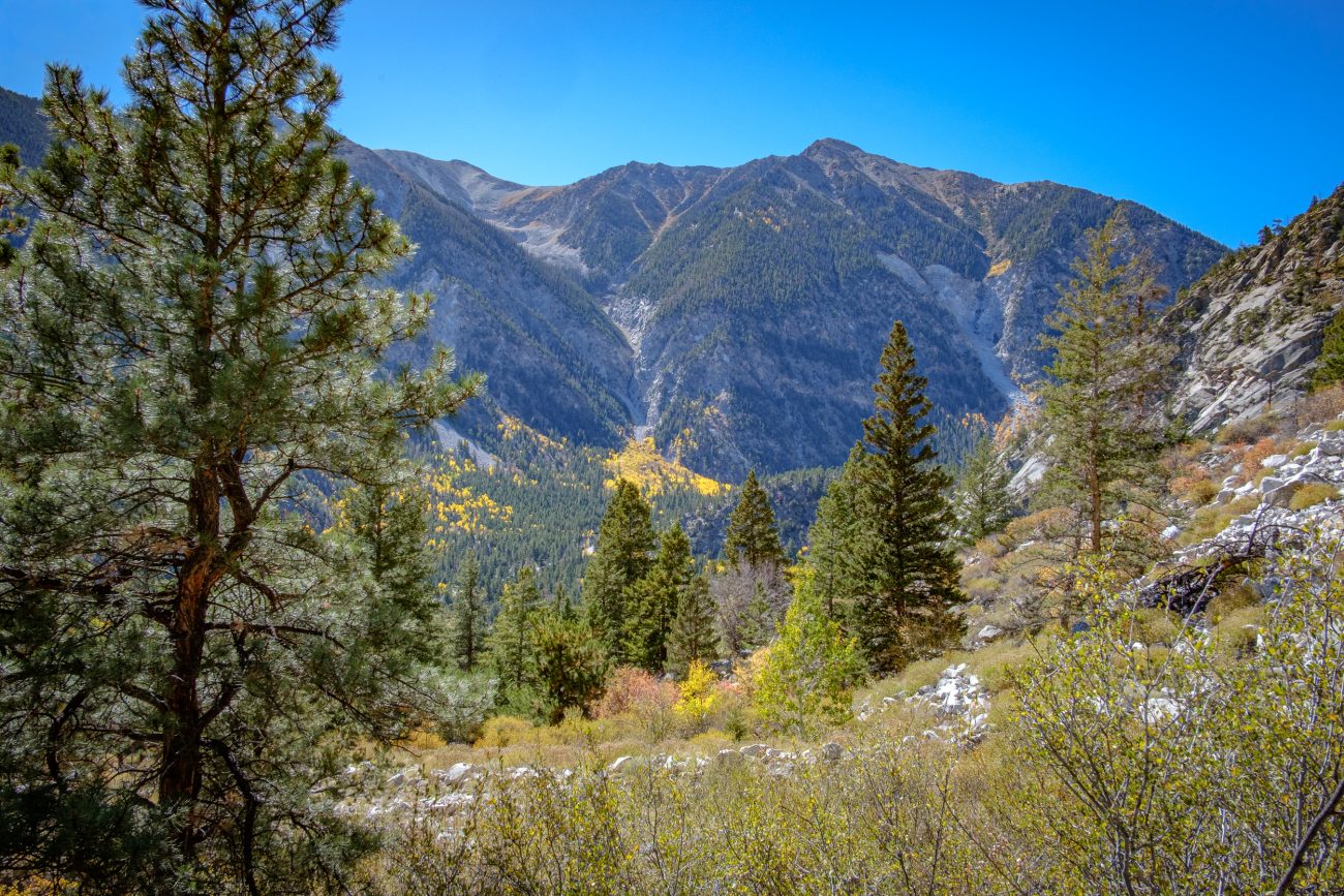
View from the Cascade Creek Trail. Looking across Chalk Creek Canyon towards Mt. Antero (not visible). Day 6 – Road Trip October 2025. Copyright © 2025 Gary Allman, all rights reserved. -
The trail was steep in places

The trail was steep in places — Cascade Creek Trail. Day 6 – Road Trip October 2025. Copyright © 2025 Gary Allman, all rights reserved. -
Looking up Cascade Creek towards Agnes Vaille Falls
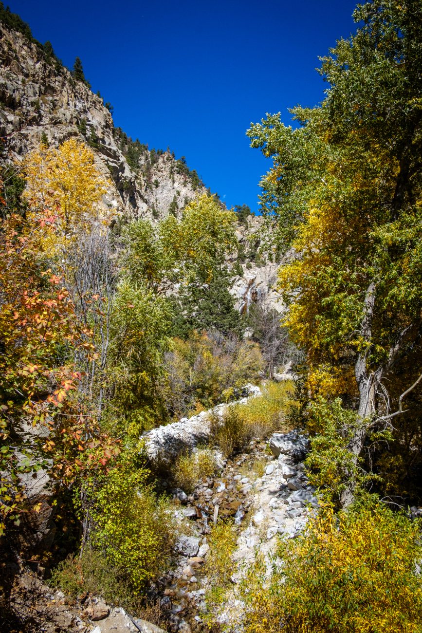
Agnes Vaille Falls — Cascade Creek Trail. Day 6 – Road Trip October 2025. Copyright © 2025 Gary Allman, all rights reserved. -
Agnes Vaille Falls

Agnes Vaille Falls — Cascade Creek Trail. Day 6 – Road Trip October 2025. Copyright © 2025 Gary Allman, all rights reserved. The falls were named by a local resident and friend of mountaineer Agnes Vaille. Vaille died in January 1925 during a winter ascent of Longs Peak, located in the Rocky Mountain National Park.
The Cascade Creek Trail is steep in places, and I had to pause and catch my breath a couple of times. The official trail stops well short of the falls themselves, and I didn’t feel like trying to bushwack to get closer. This is a rather nasty cellphone zoom of the falls, which was the closest view I got. And yes, the sky in the mountains really is that blue. It was stunning.
Coincidentally, I met a family from Kansas City at the viewpoint, which, considering how far off the beaten track this trail is, was quite a surprise… That’s foreshadowing. Wait until we get to Canyonlands National Park in Utah 🙂
-
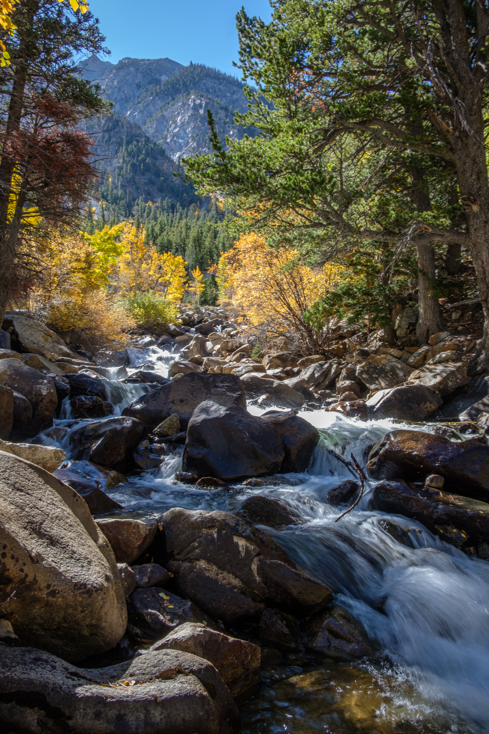
Looking down the cascade

Looking down the cascade — Chalk Creek, Chalk Creek Canyon. Day 6 – Road Trip October 2025. Copyright © 2025 Gary Allman, all rights reserved. -
Cascade on Chalk Creek

Cascade on Chalk Creek. Day 6 – Road Trip October 2025. Copyright © 2025 Gary Allman, all rights reserved. I’m feeling pretty good after a few days of acclimatizing to the altitude — over 9,000 feet at the Cascade Campground. It’s time for a hike, and to see how it goes. There’s a short hike on the Cascade Creek Trail to see the Agnes Vaille Falls. Too short, so I’m leaving the car at the campsite and walking along the road to the trailhead, and I’ll also do some exploring while I’m out.
On the way to the trailhead, I passed the Cascade Viewpoint and went down for a closer look at Chalk Creek. The picture is slightly blurry because I didn’t bring a tripod, and I used a long exposure — handheld — to soften the flow of the water.
-
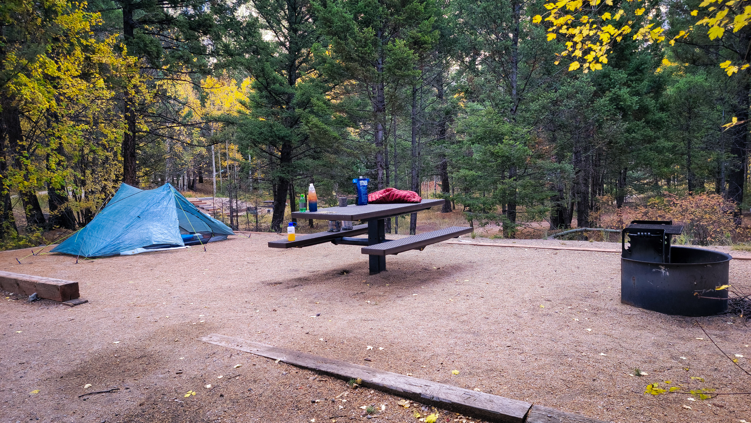
Camped at the Cascade Campground

Camped at the Cascade Campground, Chalk Creek Canyon, San Isabel National Forest. Day 6 – Road Trip October 2025. Copyright © 2025 Gary Allman, all rights reserved. -
Camped at the Cascade Campground

Camped at the Cascade Campground, Chalk Creek Canyon, San Isabel National Forest. Day 6 – Road Trip October 2025. Copyright © 2025 Gary Allman, all rights reserved. -
Camped at the Cascade Campground
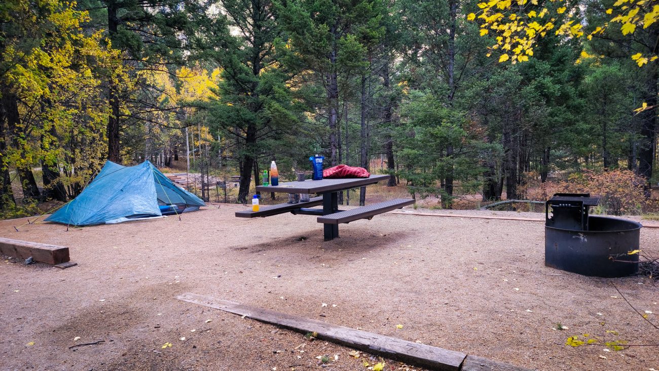
Camped at the Cascade Campground, Chalk Creek Canyon, San Isabel National Forest. Day 5 – Road Trip October 2025. Copyright © 2025 Gary Allman, all rights reserved. -
Chalk Creek Canyon, San Isabel National Forest
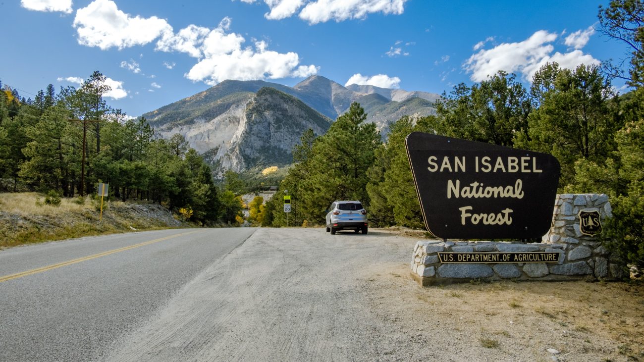
Chalk Creek Canyon, San Isabel National Forest. Day 5 – Road Trip October 2025. Copyright © 2025 Gary Allman, all rights reserved. -
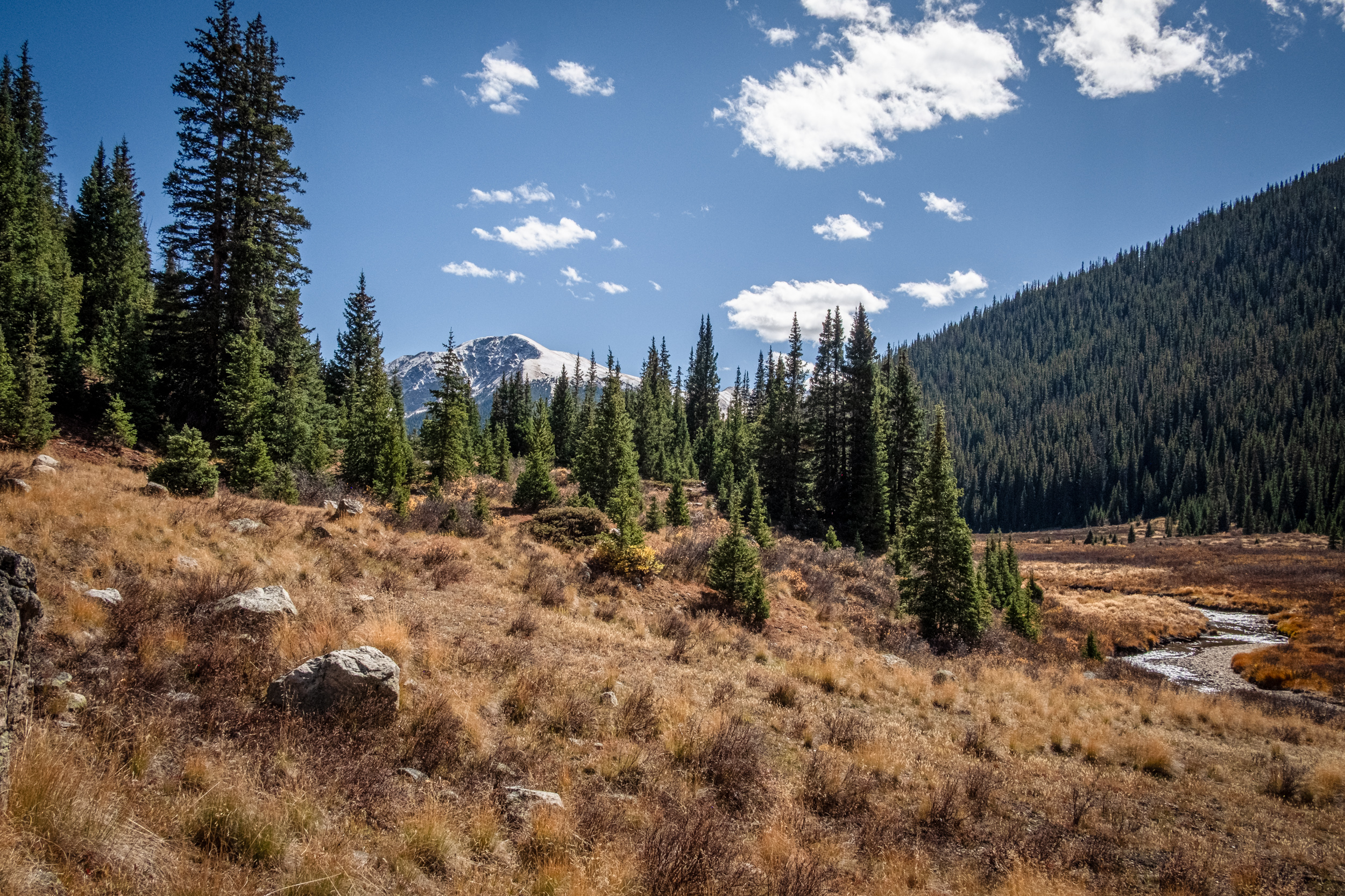
Approaching Chalk Creek Canyon

Approaching Chalk Creek Canyon. Day 5 – Road Trip October 2025. Copyright © 2025 Gary Allman, all rights reserved. They call these the Chalk Cliffs. This area has hot springs, which caused a chemical reaction that created the chalky-looking rocks, resulting in various features being named after their chalky appearance. Chalk Creek runs down through Chalk Creek Canyon, and there’s a Chalk Lake too.
But there is no chalk… The cliffs are made of a soft, white clay mineral called kaolinite, not chalk, which is a limestone (calcium carbonate) deposited in a sea. In the picture, you can see Mount Antero, 14,269 ft. (left) and Mount Princeton, 14, 204 ft. (right, behind Tigger Peak).
-
Snow on the mountain tops

Snow on the mountain tops. Day 5 – Road Trip October 2025. Copyright © 2025 Gary Allman, all rights reserved. -
Snow on the mountain tops

Snow on the mountain tops. Day 5 – Road Trip October 2025. Copyright © 2025 Gary Allman, all rights reserved. -
Heading east on Independence Pass

Heading east on Independence Pass. Day 5 – Road Trip October 2025. Copyright © 2025 Gary Allman, all rights reserved. -
Heading east on Independence Pass
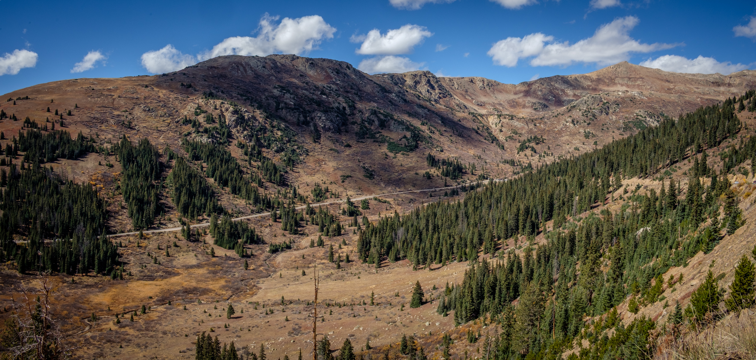
Heading east on Independence Pass. Day 5 – Road Trip October 2025. Copyright © 2025 Gary Allman, all rights reserved. -
Independence Pass (western side)

Independence Pass (western side). Day 5 – Road Trip October 2025. Copyright © 2025 Gary Allman, all rights reserved. -
Ruedi Reservoir

Ruedi Reservoir. Day 5 – Road Trip October 2025. Copyright © 2025 Gary Allman, all rights reserved. 
Ruedi Reservoir Dam. Day 5 – Road Trip October 2025. Copyright © 2025 Gary Allman, all rights reserved. -
Checking out the view
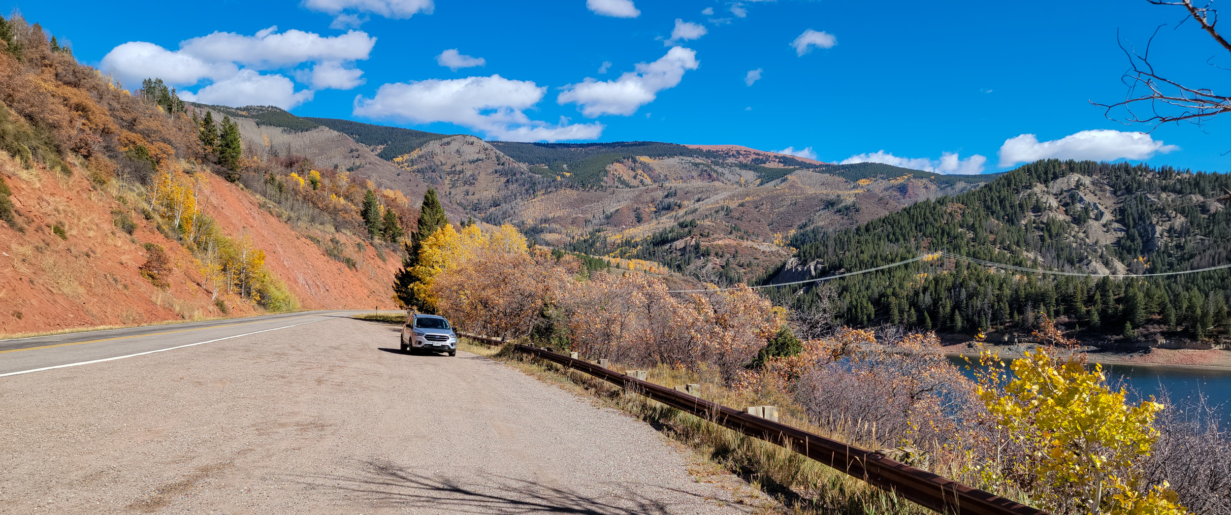
Checking out the view — Stopped at an overlook of Ruedi Reservoir. Day 5 – Road Trip October 2025. Copyright © 2025 Gary Allman, all rights reserved. -
Early morning sunshine

Early morning sunshine — Little Maud Campground, White River National Forest, Basalt, Colorado. Day 4 – Road Trip October 2025. Copyright © 2025 Gary Allman, all rights reserved. -
Glorious colors

Glorious colors — Early morning sunshine on the aspens at Little Maud Campground, White River National Forest, Basalt, Colorado. Day 4 – Road Trip October 2025. Copyright © 2025 Gary Allman, all rights reserved.