
Journal: Gary & Ginger, a couple of nights at Hercules Glades, June 2021. Journal: 5 18
Journal: Gary & Ginger, a couple of nights at Hercules Glades, June 2021. Journal: 5 18

Ginger disappearing around a corner on the Pilot (Tower) Trail

Small spring and creek near ‘Ant Hill’ – The spring we found can be seen right at the bottom of the frame. The water was pouring out of a small one to one-and-a-half-inch hole in the bank. +3

Sunday Morning at ‘Ant Hill’ – We put most of our gear away after breakfast, leaving the tarp up in case it rained — it did, but only a few sprinkles. We sat around chatting and looking at the trees until noon, when we packed away the last of our gear and headed back to the trailhead. +3

Saturday evening, camped on ‘Ant Hill’ – We called this place ‘Ant Hill’ because of the huge number of carpenter ants. We couldn’t decide if the ants killed the trees or they moved in because the trees died.

Ginger’s new tent – we splurged a lot of cash on an ultralight (24oz) Dyneema tent. Now Ginger or the kids can come out with me. +1

Flowering Prickly Pear Cactus. +1

Gary and Ginger at the Pole Hollow Cairn — Ginger is never one to miss the chance to ham things up. There are several outtakes.
Gary and Ginger at the Pole Hollow Cairn – I know how to treat Ginger to a good time, I made sure she had plenty of exercise, time to relax, and her own room with a forest view. 2 2

Back to the start and some notes – From here there is just a short thirty-minute hike, south, down the Ozark Trail to get back to the trailhead. That’s it, trip over, though there’s still the two-hour drive home to complete.

Ready for the trail – Don’t come to me for outdoor fashion guidance. I hike to my own tune, and I like mixing my metaphors!

The view from my chair – Stereo image.
And very tall trees too.

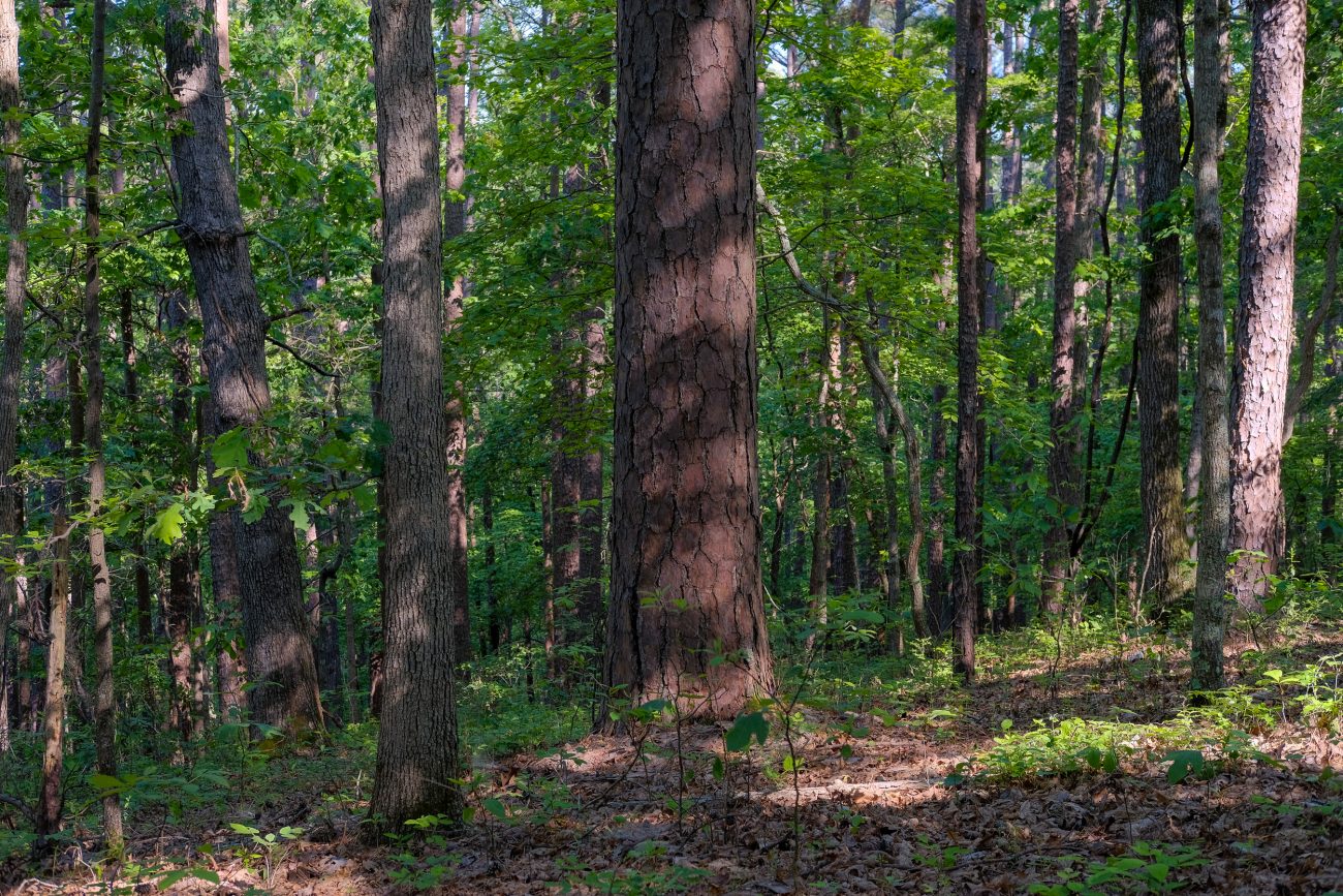
Trees, trees, and more trees.

Lunch break, and I’m showing a bit too much thigh – I had a choice of routes to take today. The short route takes the North Fork Loop east back to the Ozark Trail, where I could get back to the trailhead. The longer route goes south, and into the Devil’s Backbone Wilderness, and returns to Highway CC via the McGarr Ridge Trail. One-minute read

Day Three – Back on the North Fork Loop Trail

Nothing but trees – Camped in Mark Twain National Forest, it was a wonderful morning in a rejuvenating spot.

Dappled.

Hammock Camping. +2
Stereo Image – Just Trees – It’s difficult to see the trees for the woods in a normal forest photograph, you need your full 3D vision to be able to separate things.

Breakfast comforts – A cup of tea and Mountain House South West Breakfast Skillet, followed by a cup of coffee, and all enjoyed from the comfort of my camp chair. I did a lot of staring into space, admiring the view, as the trees swayed, shining dappled sunlight while the breeze blew. I doubt this spot has seen a human visitor in many years.

Eight O’Clock and I’m finally camped for the night

Glimpse – A glimpse of the sky, and the river can just be seen through the leaves. +2

Steam Mill Creek Crossing – This is where the main North Fork Loop Trail crosses the creek in Steam Mill Hollow. One-minute read