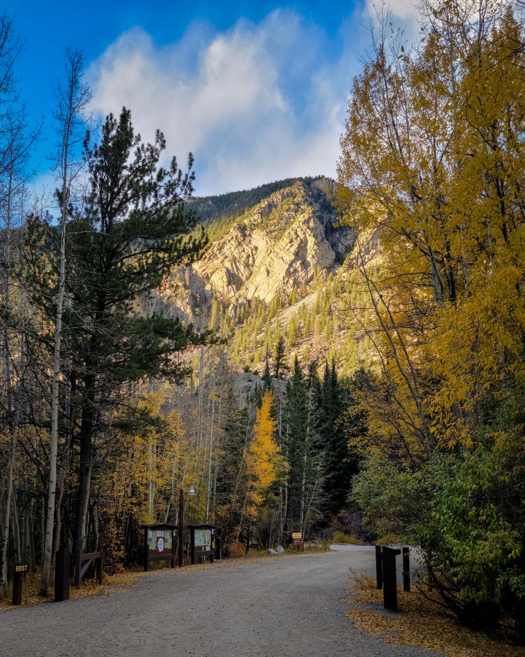
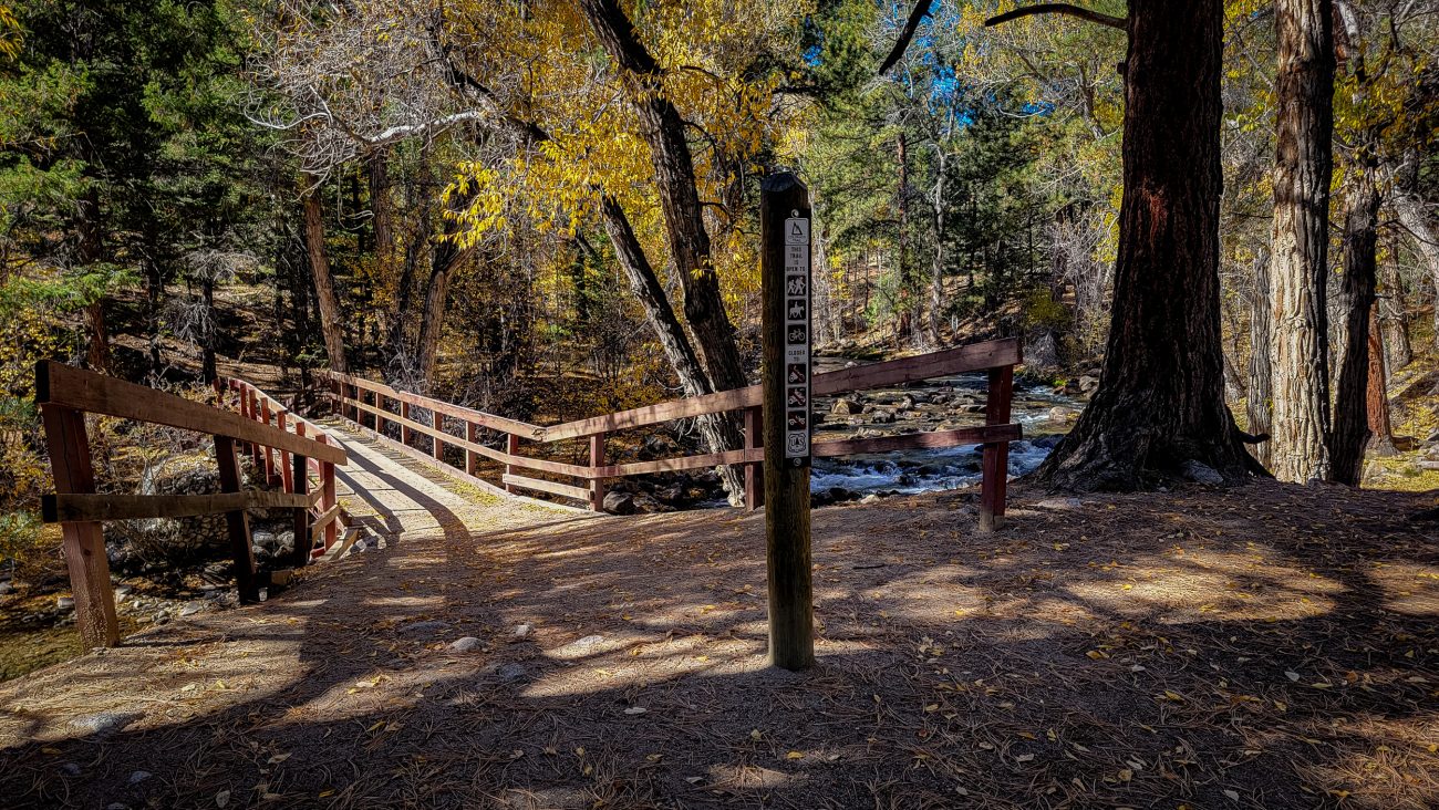
Entrance to the Cascade Campground — Looking out towards the road.
Time spent in the great outdoors hiking, backpacking, camping, fishing, paddling, and shooting. Anything well away from the madding crowd.
Entrance to the Cascade Campground — Looking out towards the road.
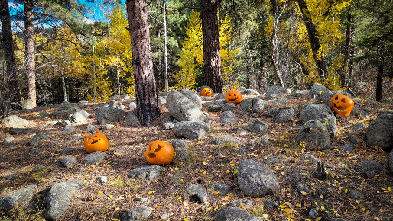
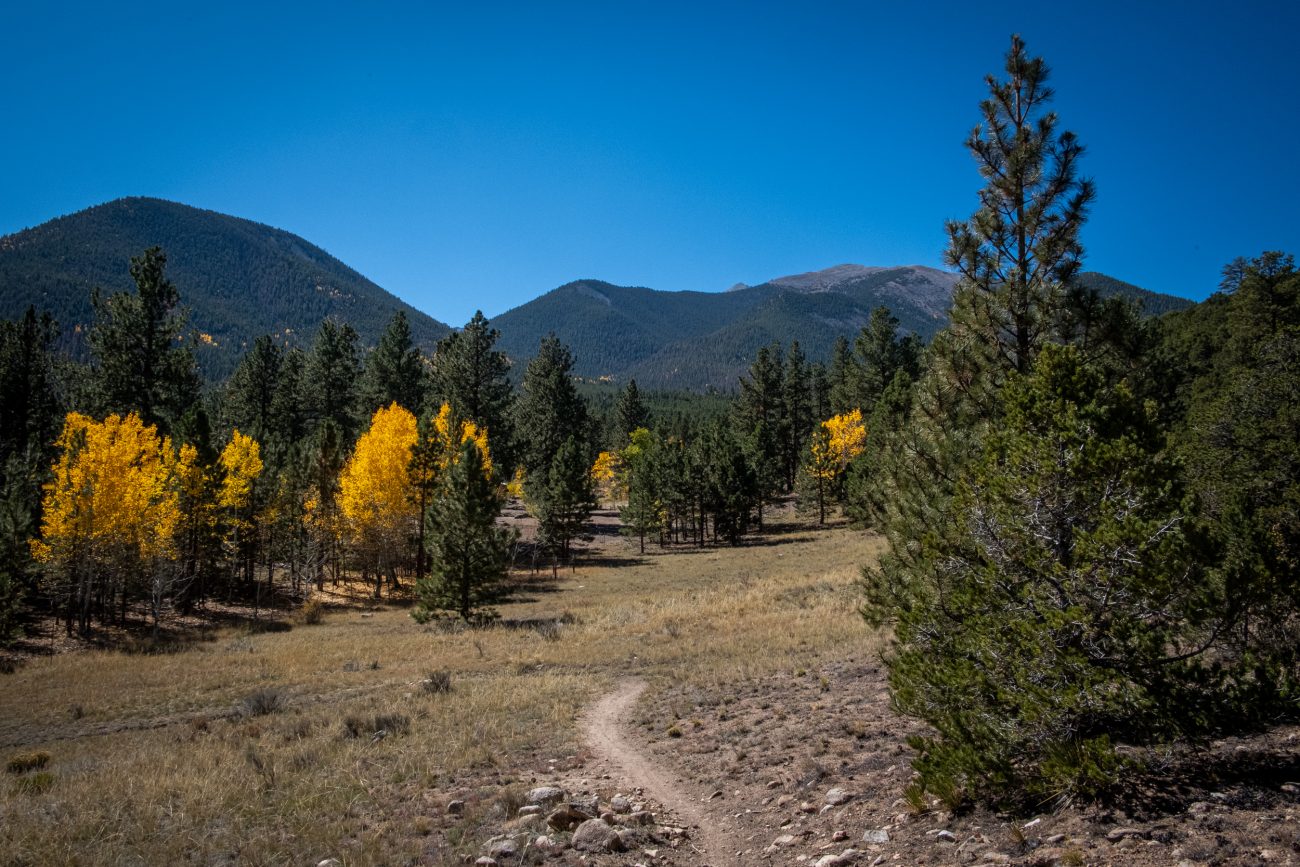
Back to the start and some trailside pumpkins — I saw these near the start of the trail. Hike totals: 6.5 miles and 1,300 ft. of elevation gain/loss.
Nearly down — it took me around fifty minutes to get here from the top of the ridge.
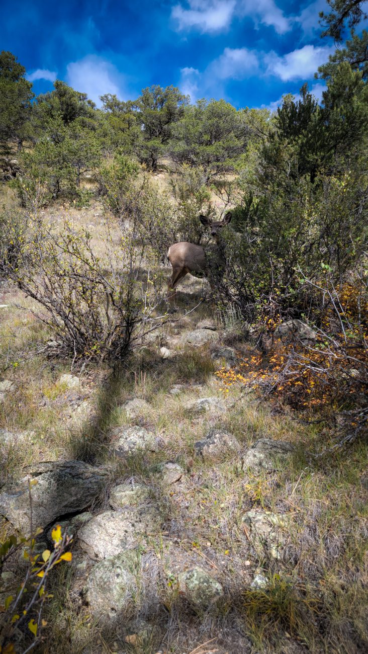
Trailside deer — the deer here are not timid, there were three in this group, but the others were enjoying an afternoon snack behind the cover of some bushes, so I could only get a picture of this one.
A brief respite — The trail levels out briefly in places.
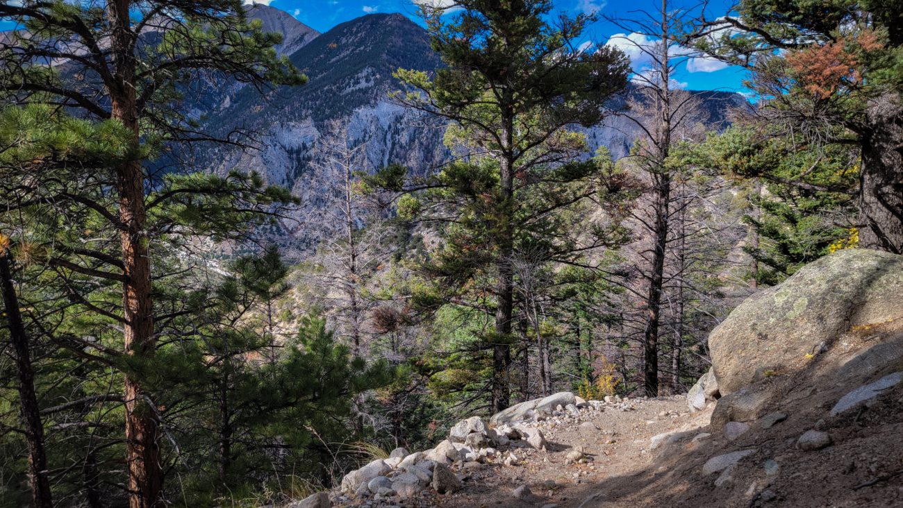
Looking up the trail — Going up was much easier than coming down. I have just noticed that I can see my footprints going up the trail in this picture.
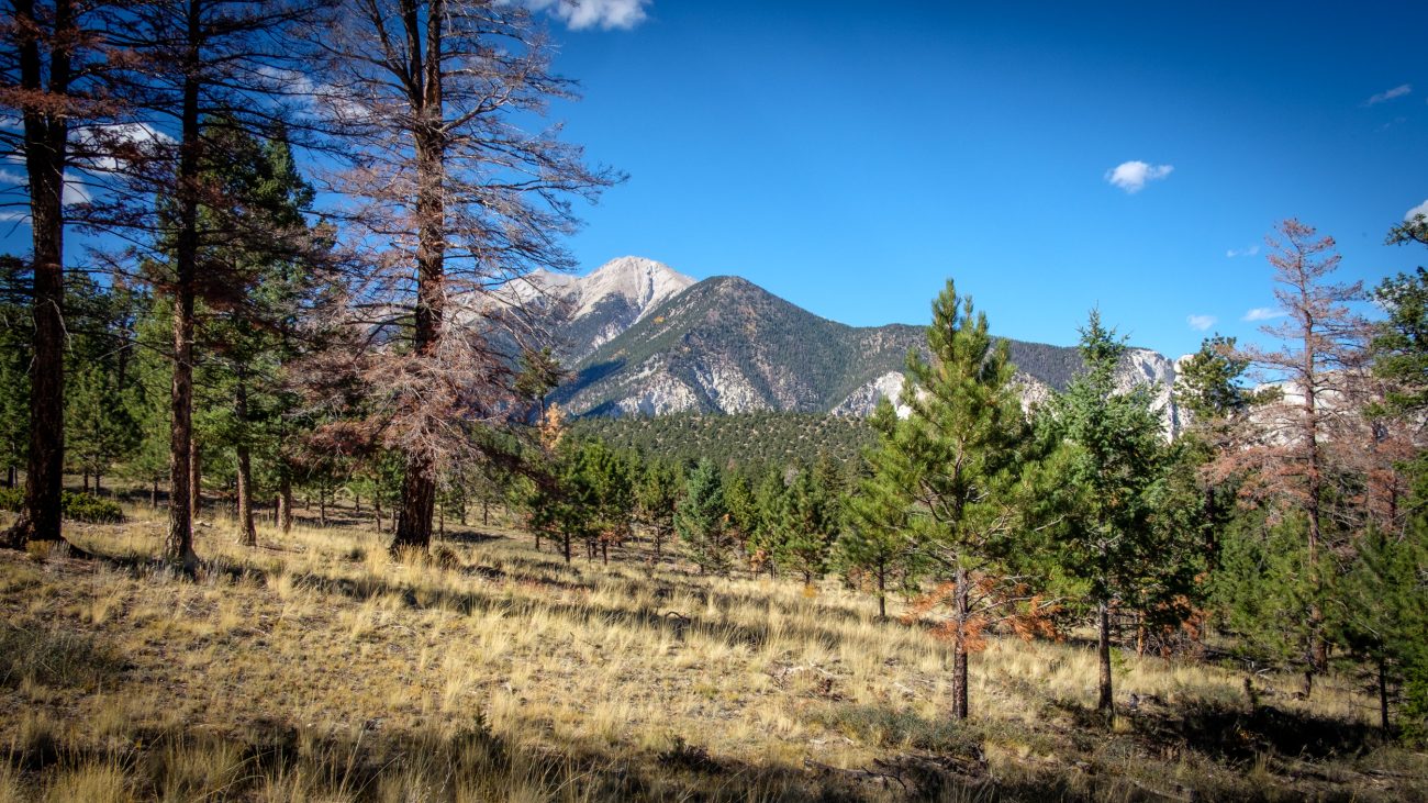
The views continue to impress me.
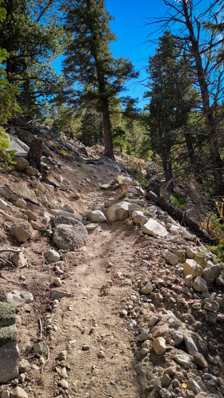
Descending — The long trudge down the ridge has begun. The trail is steep and sandy at the top, making for a very loose footing.
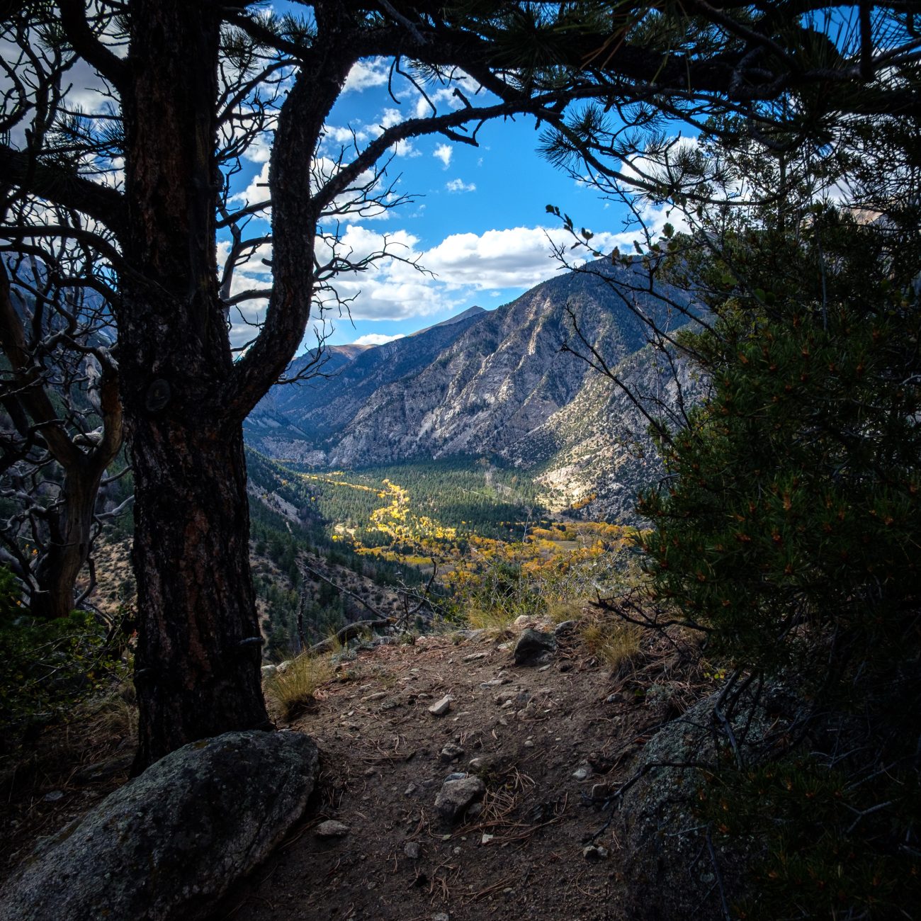
A last look to the southeast — before dropping back down into Chalk Creek Canyon, I popped over to the other side of the ridge for one last look at the view across the plains to the southeast.
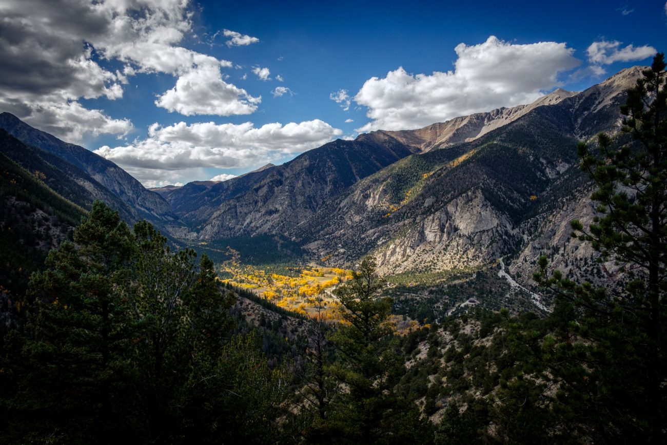
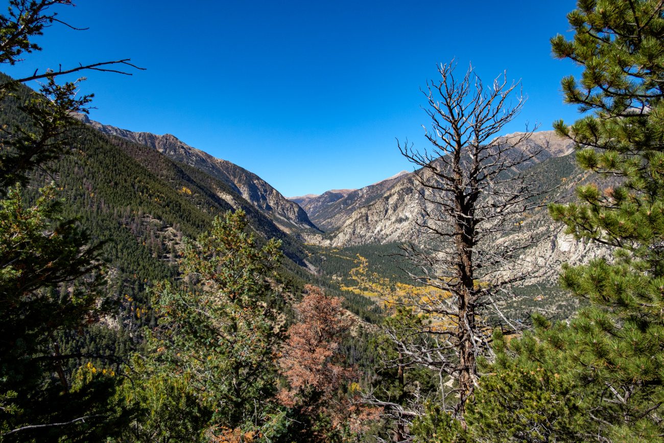
The endless play of light — I stayed here for several minutes watching the ever-changing light move across Chalk Creek Canyon. 2
Chalk Creek Canyon — I couldn’t resist taking a picture of Chalk Creek Canyon framed by this tree and bush. It was windy and the light was changing rapidly as the clouds moved across the sky.
Getting near to the top — Looking southwest. A glimpse of the trail can be seen at the bottom of the frame. It’s looking quite rugged, and it was.
Time to head back up the ridge — At least it’s only 300 ft. on this side. But I still have 900ft. to descend on the other side.
Heading back — Look carefully, and in the middle distance, you can see the ridge I’m going to climb.
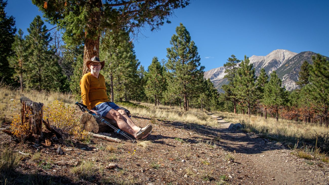
Turnaround Point, and stopped for lunch — According to my calculations, I was about three-and-a-half miles into my hike, and this log offered a great view and spot to eat lunch.
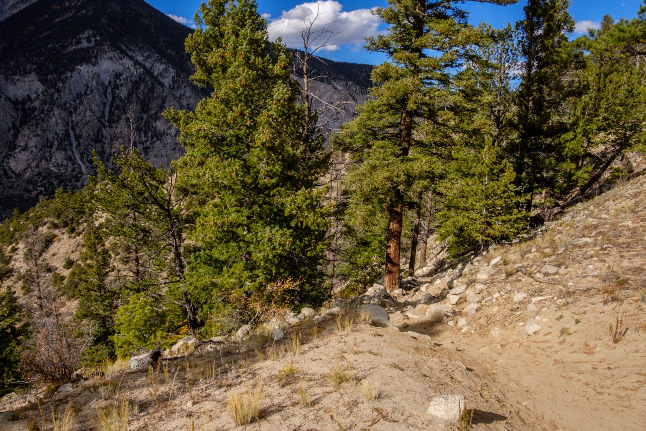
Descending — Nearly down the south side of the ridge, and the trail is leveling out. It was quite rugged in places.
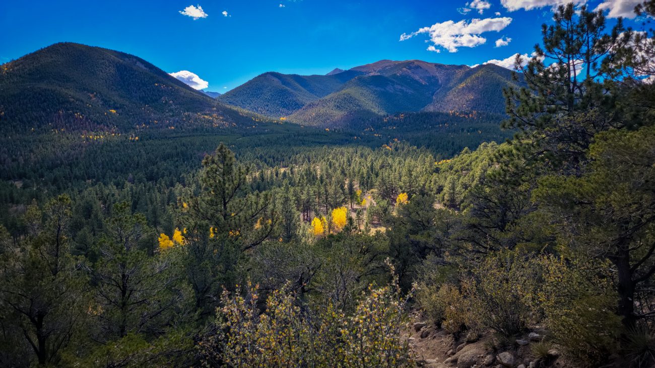
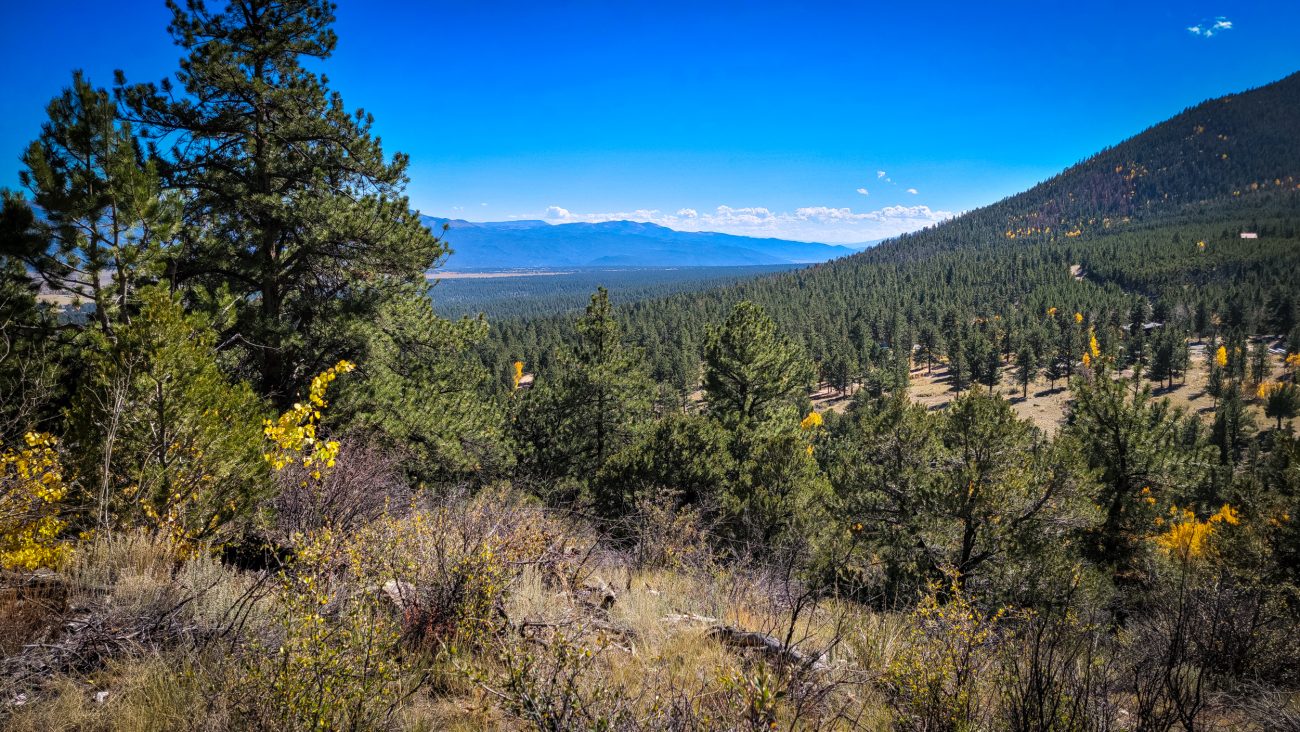
I could almost be in Hercules Glades — If the Glades were at around 10,000ft, that is. I’m following the trail as it runs along the northern side of the ridge.
Looking over the other side of the ridge — I’m facing roughly southeast. The drop on this side of the ridge is only 300ft. Hopefully not a very rugged descent, and not too far for me to climb up on my return.
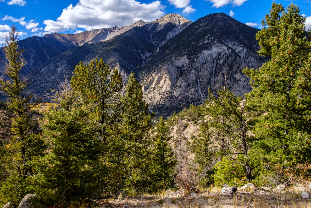
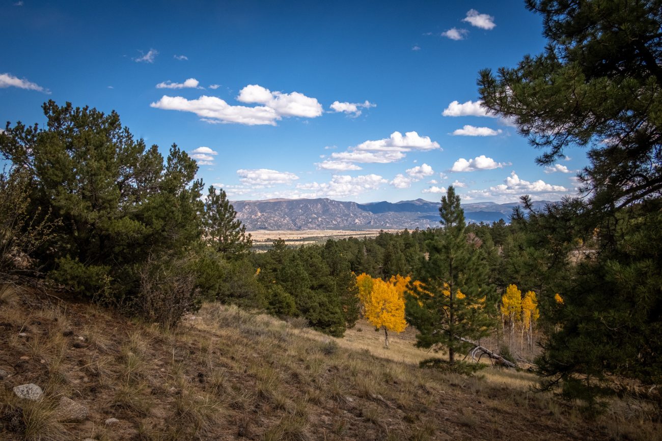
Under an hour later and I’m on the top of the ridge — And what a view! The fall colors and mountains are spectacular. That was a lot easier than I expected, but it was very steep in places. It was worth it for the views.
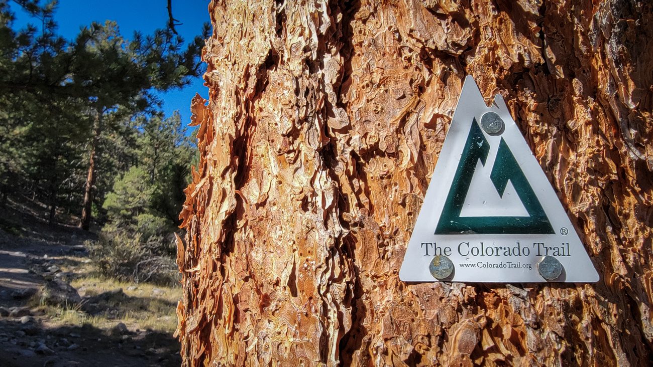
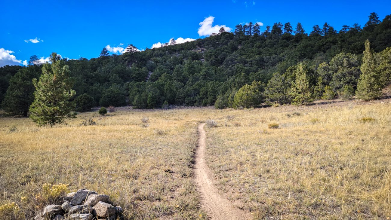
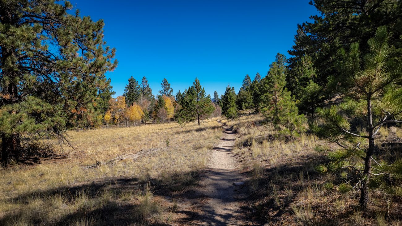
On the Colorado Trail — Okay, I did a tiny bit of this trail yesterday, but I’m counting this as my first hike on a major through trail. I’ll only be going a total of seven miles or so, but that’s enough for me with all the elevation I’ll be gaining.
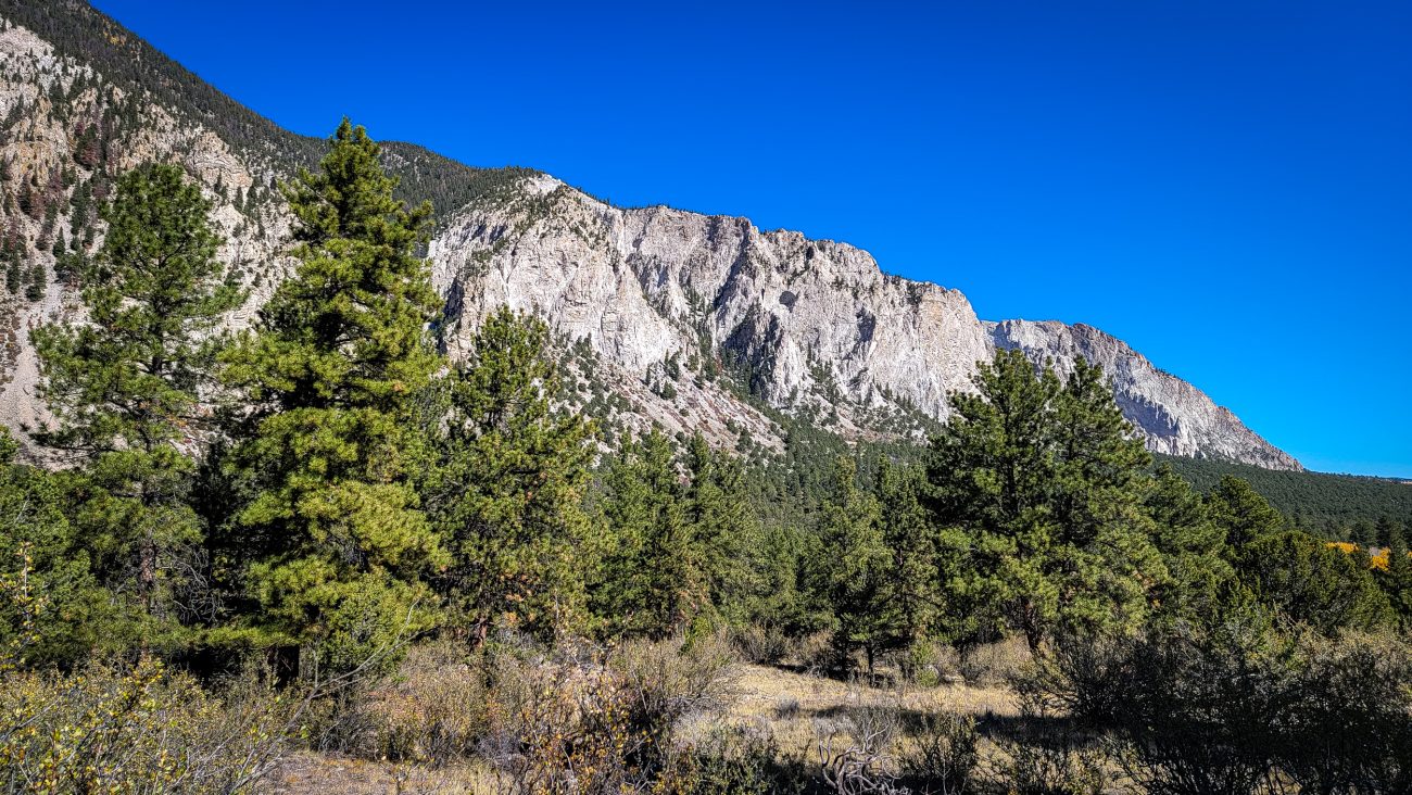
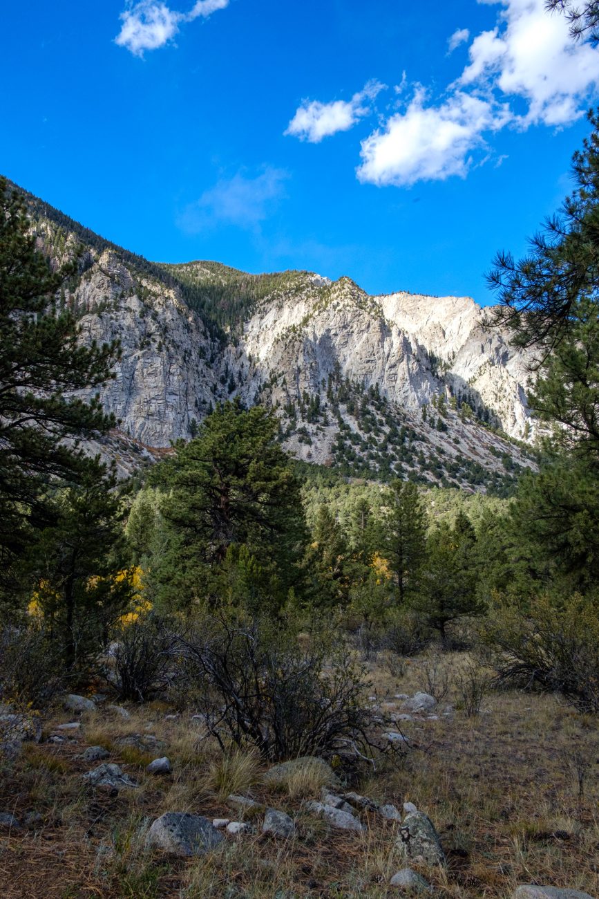
Chalk Cliffs from the Colorado Trail. Day 8 – Road Trip, October 2025. Of course, they are not chalk. They are white quartz left behind after other minerals have been leached from the original rock by hot water.
Day 8. Colorado Trail Segment 14: Chalk Creek to US Hwy 50. Day 8 – Road Trip, October 2025.

Cascade Campground. Day 7 – Road Trip October 2025.

Approaching Cascade Campground. Day 7 – Road Trip October 2025. 2