Albums

Collections of ten or more pictures, often with write-ups about what was going on.


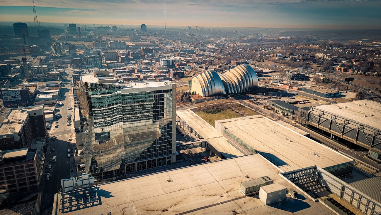
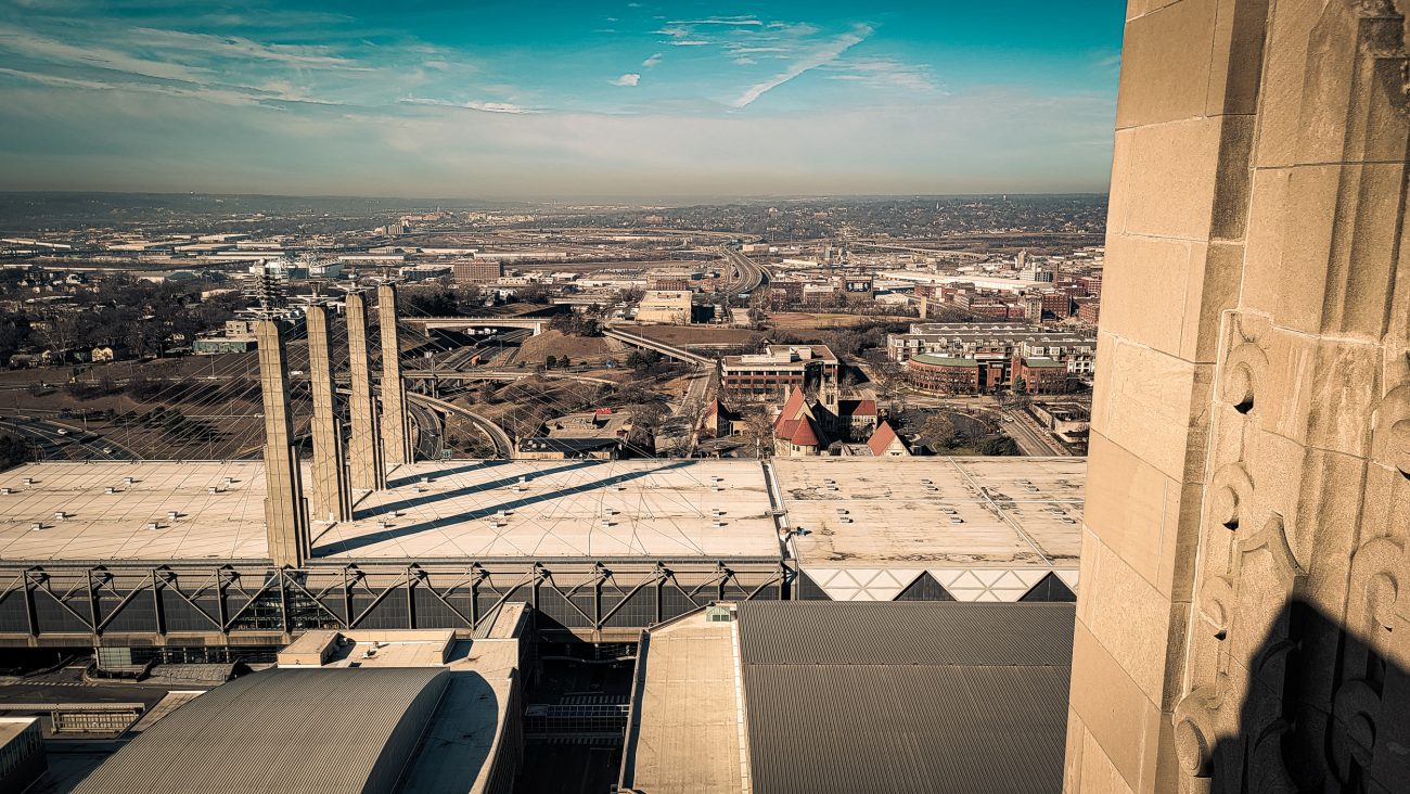
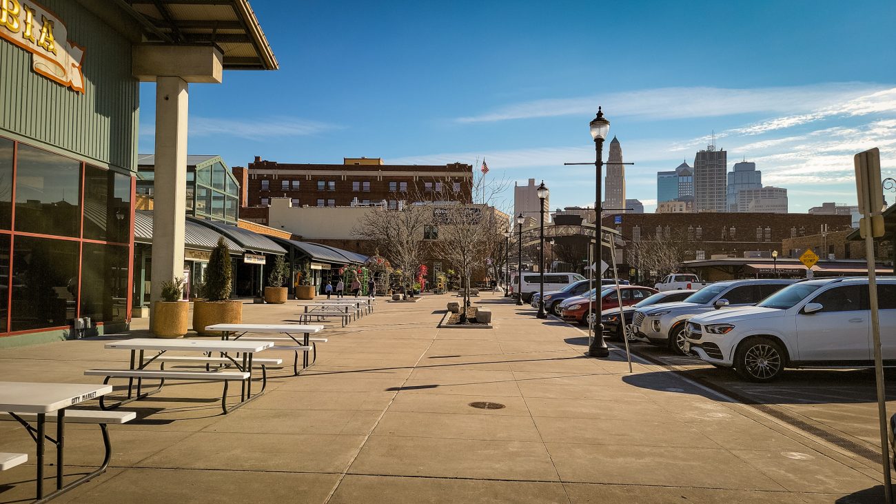
Looking south from City Market — (I’ve also seen this area referred to as River Market). We spent a couple of hours soaking up all the exhibits at the Arabia Steamboat Museum – https://www.1856.com/. The Arabia sank in 1856 and was excavated in the 1980s. The museum provided a fascinating insight into the goods being shipped by steamboat into the Midwest

Chinatown Food Market — Lots of tasty morsels were purchased along with enough packets of noodles for many backpacking lunches.

Orange cat and spot — Of course a visit to see Katie also means a chance to see Dick, our grandcat in his native environment and with a nice midcentury modern style rug too.

Top of the Power and Light Building. I love Art Deco architecture.

The Kauffman Center from the 32nd floor terrace, Kansas City Power and Light Building — We were at the Kauffman Center last night for Chris Thile with the Kansas City Symphony.

View to the east from the 32nd floor terrace, Kansas City Power and Light Building.

View to the west from the 32nd floor terrace, Kansas City Power and Light Building — Featuring the Diocesan office and Grace & Holy Trinity Cathedral, which can be seen just past the convention center. I waved at my ex-colleagues, but I don’t think they saw me.

Empty Chair — I’d planned on taking a picture of Ginger sitting enjoying the view, which would have been a great silhouette. But Ginger got up as I grabbed my phone.

Turnaround Point, and stopped for lunch — According to my calculations, I was about three-and-a-half miles into my hike, and this log offered a great view and spot to eat lunch.

Descending — Nearly down the south side of the ridge, and the trail is leveling out. It was quite rugged in places.

I could almost be in Hercules Glades — If the Glades were at around 10,000ft, that is. I’m following the trail as it runs along the northern side of the ridge.

Looking over the other side of the ridge — I’m facing roughly southeast. The drop on this side of the ridge is only 300ft. Hopefully not a very rugged descent, and not too far for me to climb up on my return.

Under an hour later and I’m on the top of the ridge — And what a view! The fall colors and mountains are spectacular. That was a lot easier than I expected, but it was very steep in places. It was worth it for the views.

On the Colorado Trail — Okay, I did a tiny bit of this trail yesterday, but I’m counting this as my first hike on a major through trail. I’ll only be going a total of seven miles or so, but that’s enough for me with all the elevation I’ll be gaining.

Chalk Cliffs from the Colorado Trail. Day 8 – Road Trip, October 2025. Of course, they are not chalk. They are white quartz left behind after other minerals have been leached from the original rock by hot water.

Day 8. Colorado Trail Segment 14: Chalk Creek to US Hwy 50. Day 8 – Road Trip, October 2025.

Cascade Campground. Day 7 – Road Trip October 2025.

Approaching Cascade Campground. Day 7 – Road Trip October 2025. 2

Trail sign, the western end of Narrow Gauge Trail #1432. With my short road hike and excursion up a brief bit of Section 14 of the Colorado Trail, I managed six and a half miles for my second hike. Day 7 – Road Trip October 2025. 2

The western end of Narrow Gauge Trail #1432. The Denver, South Park, and Pacific Railroad Trail. Day 7 – Road Trip October 2025.

Chalk Creek Cascade — This is just the start. The cascade runs for a tad under half a mile and drops over 250 ft. The Cascade campground is just around the corner on the left. The Denver, South Park, and Pacific Railroad Trail. Day 7 – Road Trip October 2025.

This trail is really easy going — the Denver, South Park, and Pacific Railroad Trail. Day 7 – Road Trip October 2025.

Mt. Princeton — from the Denver, South Park, and Pacific Railroad Trail. Day 7 – Road Trip October 2025.

Looking west up Chalk Creek Canyon. Mt. Princeton on the right. Day 7 – Road Trip October 2025.

Scroll to Top