-
Meds

Meds — It seems that the older I get, the more meds and supplements it takes to keep me functioning. Copyright © 2026 Gary Allman, all rights reserved. It seems that the older I get, the more meds and supplements it takes to keep me functioning.
Each day, I take two pills to keep my heart beating steadily, two pills for my prostate, one pill to lower my blood pressure, one pill to lower the coagulation propensities of my blood, and one pill to keep my low-density lipoprotein (cholesterol) in check. One of the supplements counteracts the worst of the side effects of the meds, and the other is just general vitamins and minerals, some of which are supposed to help slow down my macular degeneration.
-
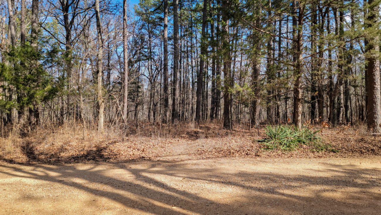
Hike almost over

Hike almost over — it’s just a short way from here, at the edge of the wilderness, to the registration point and parking lot. All in all, I hiked a tad under 19 miles and climbed 1,500 feet of elevation. Backpacking the Big Piney Trail, February 2026. Copyright © 2026 Gary Allman, all rights reserved. -
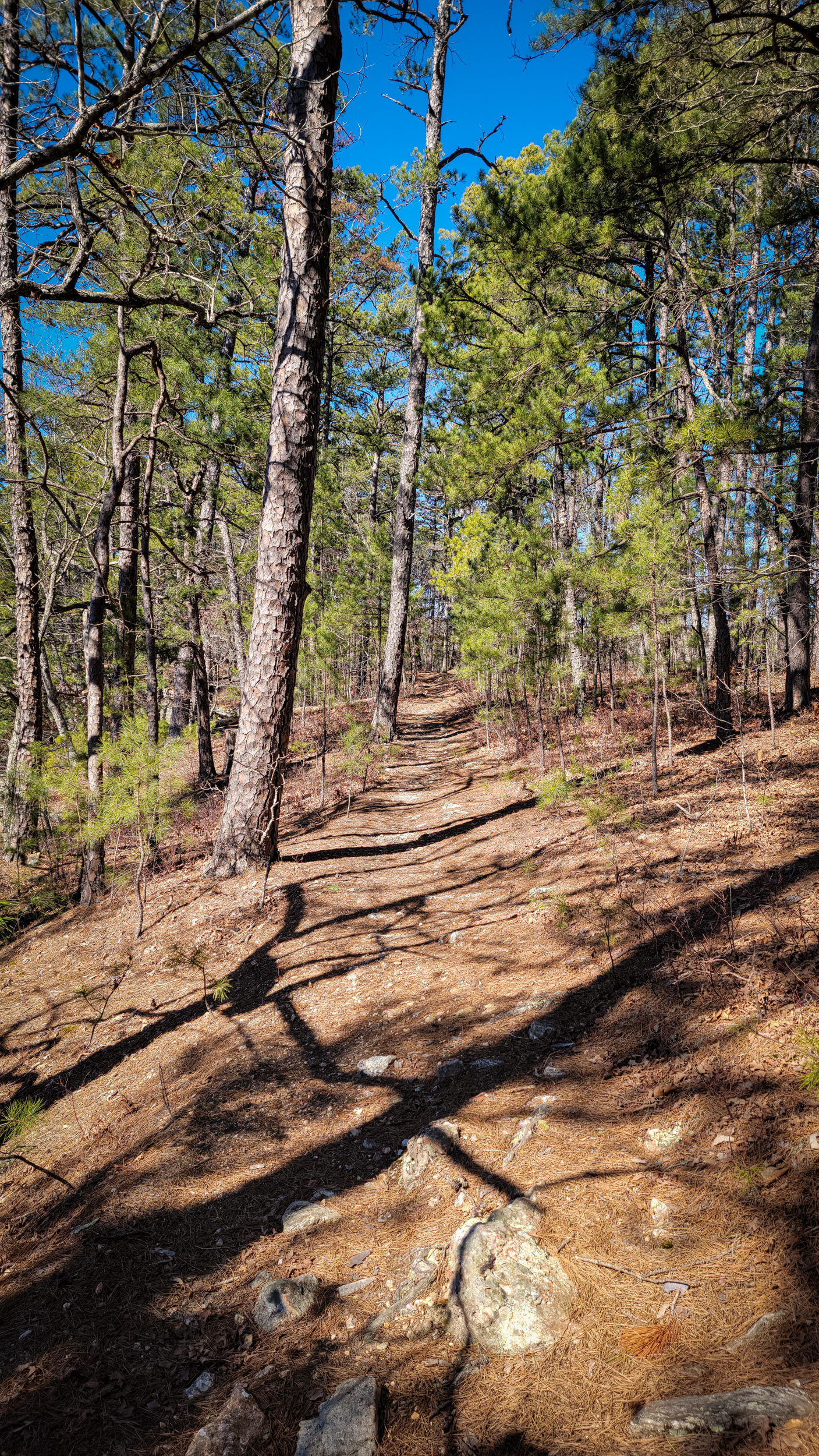
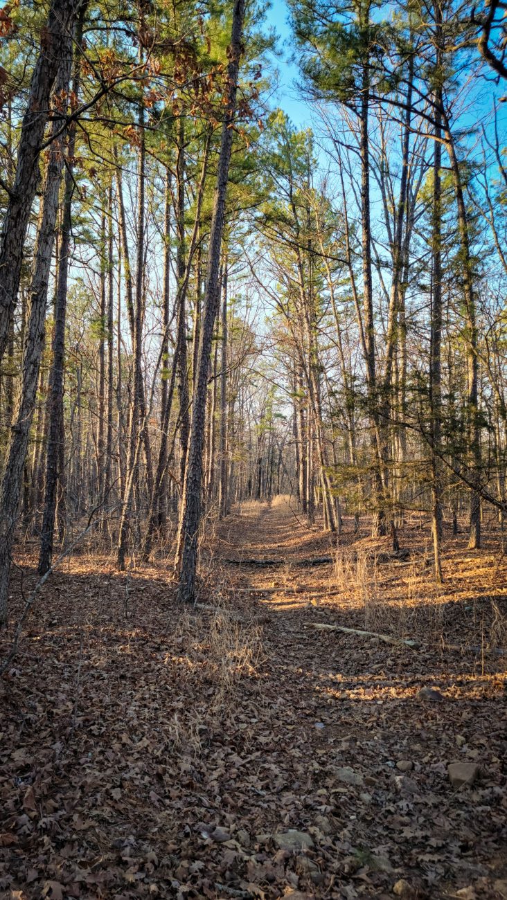
Big Piney Trail, South Loop along the top of a ridge, heading west near the Little Piney Creek Overlook
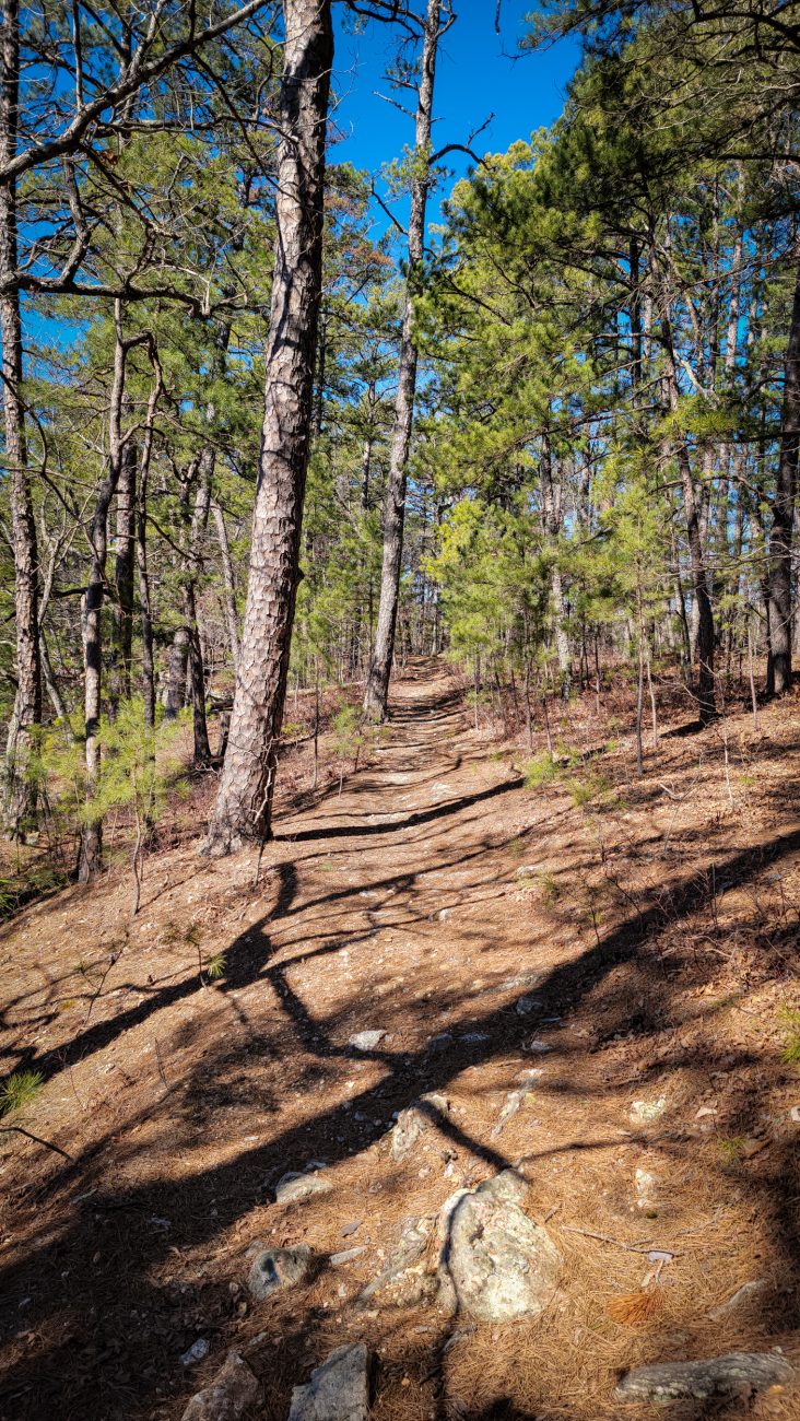
Big Piney Trail, South Loop along the top of a ridge, heading west near the Little Piney Creek Overlook. Backpacking the Big Piney Trail, February 2026. Copyright © 2026 Gary Allman, all rights reserved. -
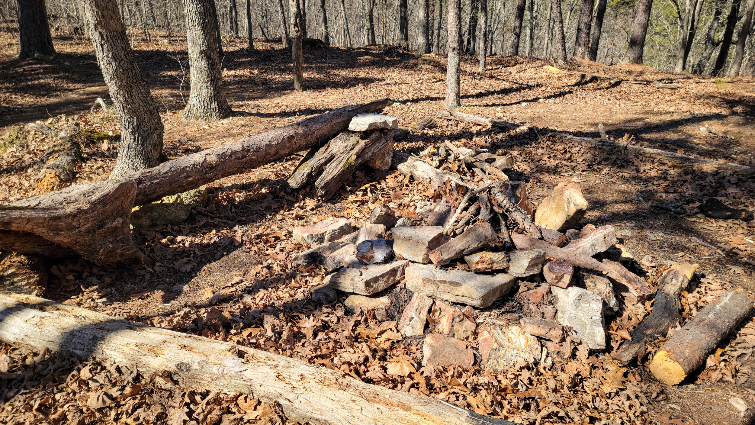
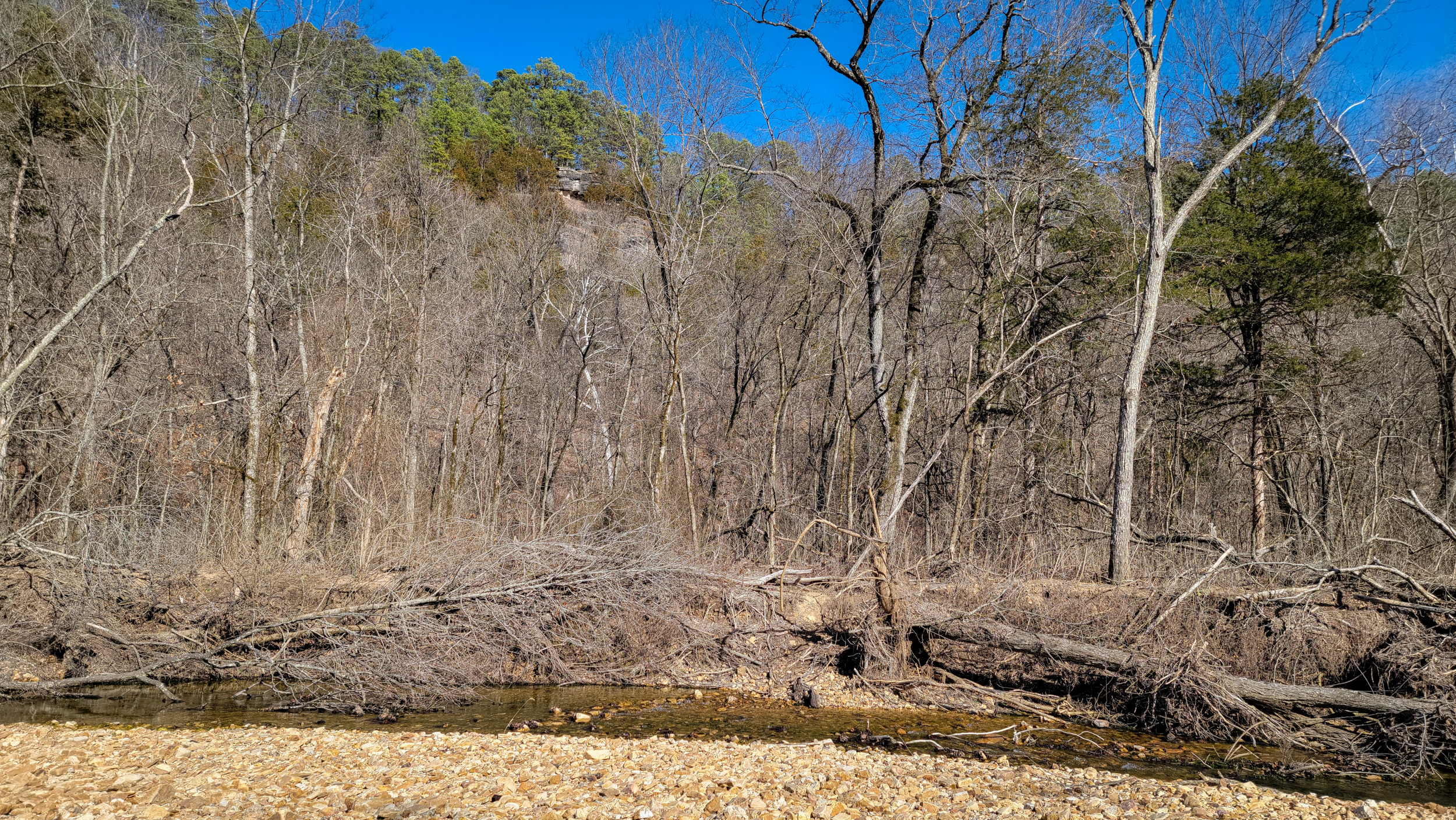
The trailside fire rings have been rebuilt
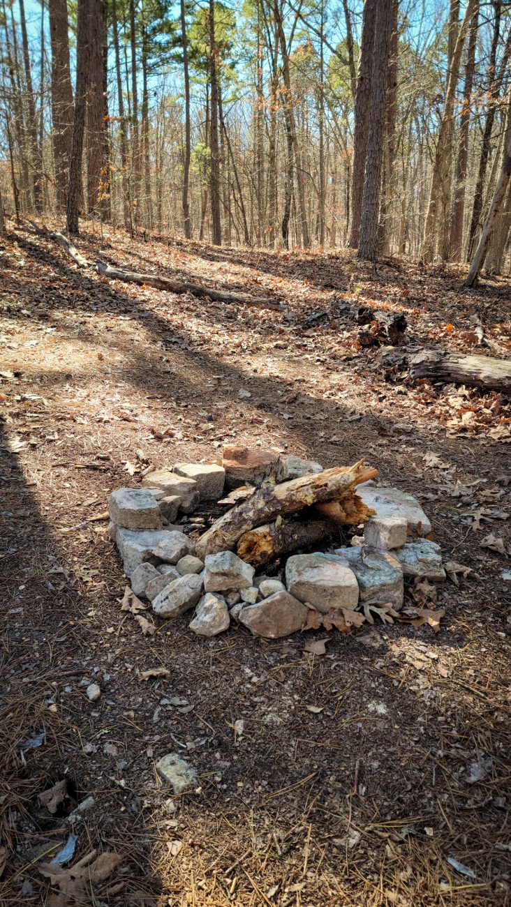
The trailside fire rings have been rebuilt — Backpacking the Big Piney Trail, February 2026. Copyright © 2026 Gary Allman, all rights reserved. At first I thought it was just the odd one here and there, but all the fire rings I encountered and remember seeing on previous trips had either been rebuilt or cleared away. Many, like this one, had a supply of wood in them or nearby. Odd. It was like someone was preparing for a massive influx of hikers.

Another trailside fire ring — again rebuilt, stocked with wood and complete with some log benches. Backpacking the Big Piney Trail, February 2026. Copyright © 2026 Gary Allman, all rights reserved. -
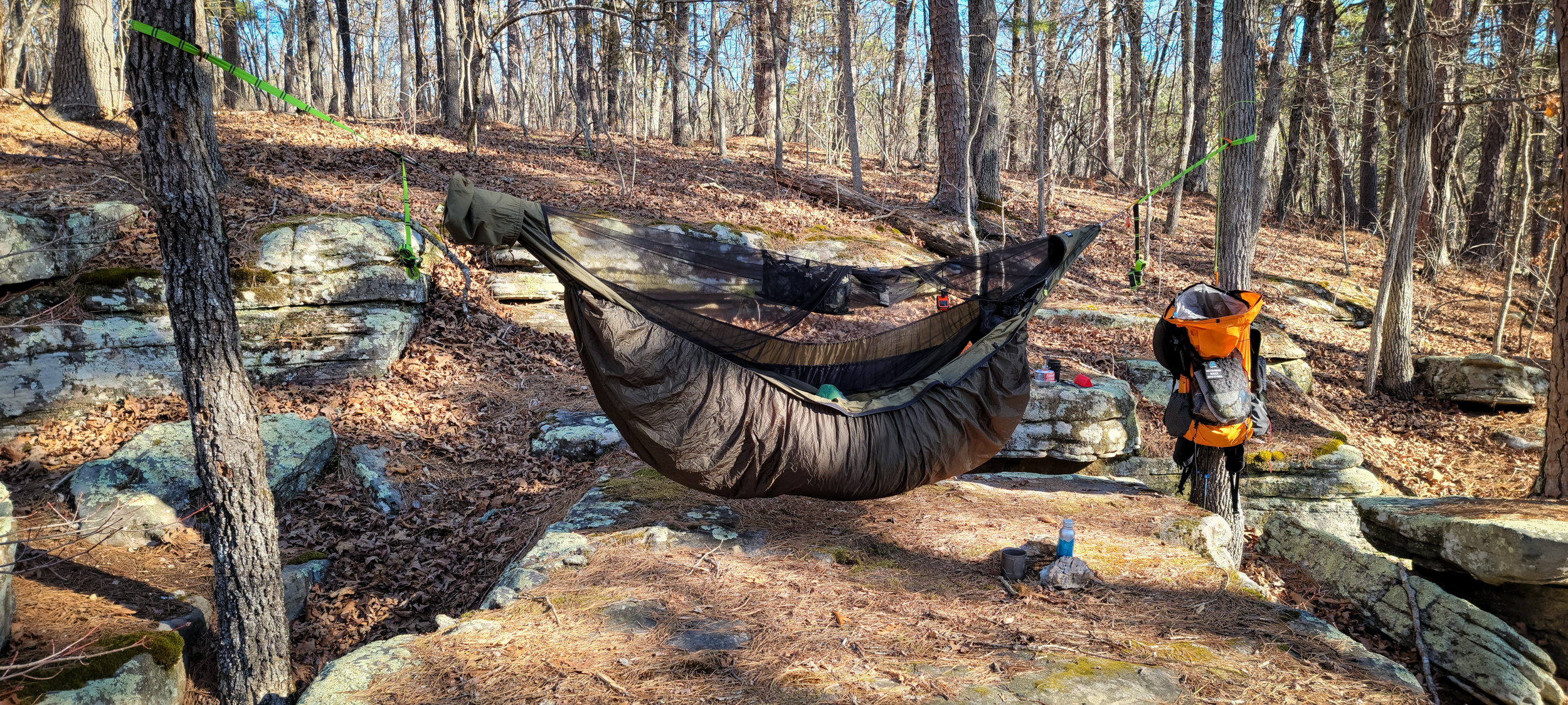
Camped at ‘Paddy Creek Trolltunga’
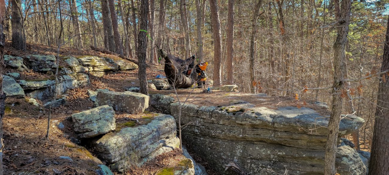
Camped at ‘Paddy Creek Trolltunga’ — Backpacking the Big Piney Trail, February 2026. Copyright © 2026 Gary Allman, all rights reserved. 
Camped at ‘Paddy Creek Trolltunga’ — this is such a great place to hang a hammock. Not so good if you want to set a tarp, though. I never have when stopping here. Backpacking the Big Piney Trail, February 2026. Copyright © 2026 Gary Allman, all rights reserved. -
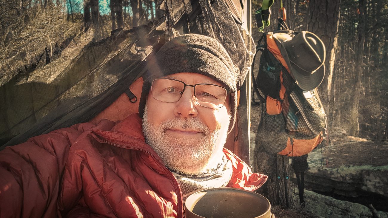
Preparing second breakfast — Peak Refuel Biscuits and Gravy
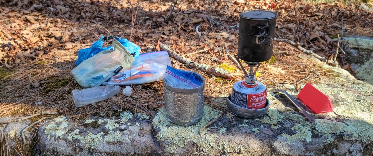
Preparing second breakfast — Peak Refuel Biscuits and Gravy. I’m glad I anticipated the burn ban and brought along my butane stove. Backpacking the Big Piney Trail, February 2026. Copyright © 2026 Gary Allman, all rights reserved. I’m glad I anticipated the burn ban and brought along my Pocket Rocket butane stove. As I understand it, you are not supposed to use any stove that cannot be turned off during a burn ban. I’ve had my alcohol stove blow over in a high wind (fortunately on a creek’s pebble beach), so that makes sense to me.
-
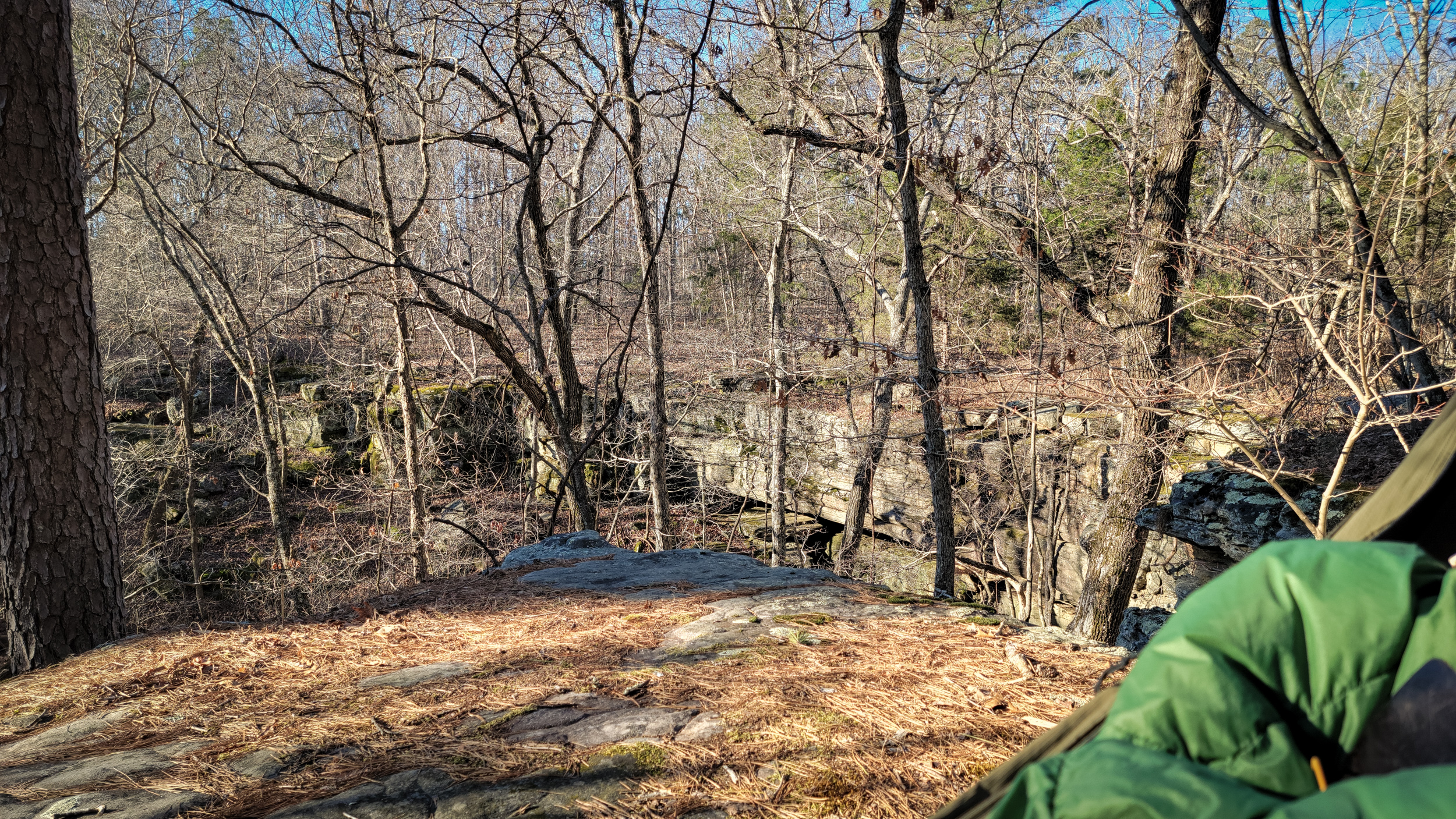
View from my hammock at ‘Paddy Creek Trolltunga’
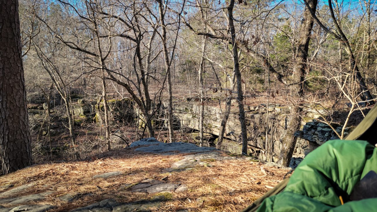
View from my hammock at ‘Paddy Creek Trolltunga’ — The real Trolltunga is around 2,300 feet above the lake below it. ‘Paddy Creek Trolltunga’ — my tunga-in-cheek name for this spot, has an initial drop of around 15 feet, and is 50-60 feet above the hollow’s floor. Backpacking the Big Piney Trail, February 2026. Copyright © 2026 Gary Allman, all rights reserved. -
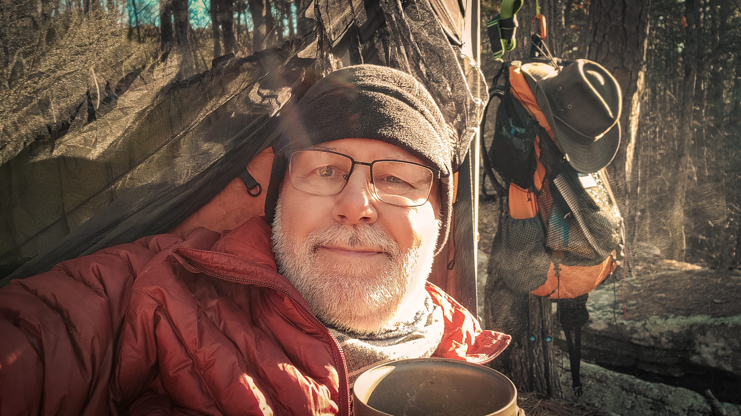
Coffee and an (out of shot) Pop-Tart in my hammock
Coffee and an (out of shot) Pop-Tart in my hammock. Eight o’clock and it’s warming up just a tad. Backpacking the Big Piney Trail, February 2026. Copyright © 2026 Gary Allman, all rights reserved. -
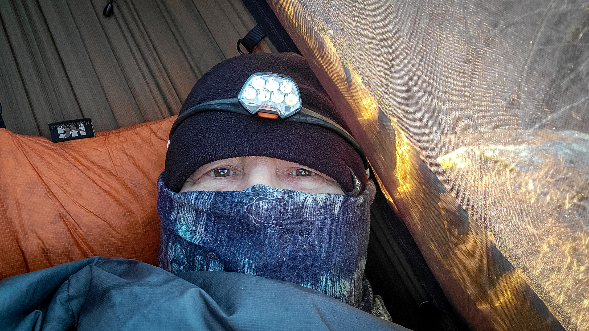
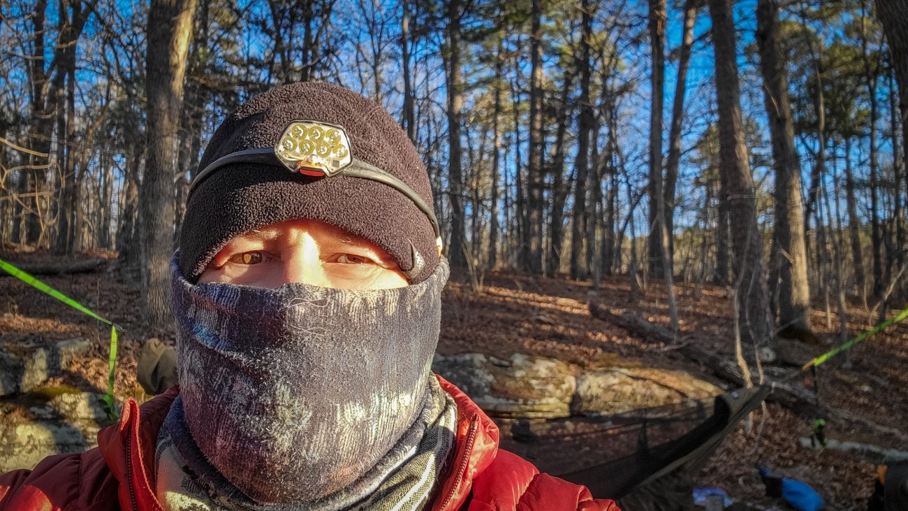
It got chilly last night – Day Three

It got chilly last night — not quite as bad as the forecast at 26°F, though. Backpacking the Big Piney Trail, February 2026. Copyright © 2026 Gary Allman, all rights reserved. It got chilly last night — not quite as bad as the forecast at 26°F. My plan worked, and I was too warm at times.
What was the plan? Well, I’d packed my big puffy jacket, and I always pack my light puffy, just because at 11oz it is lighter than a fleece, and it packs a lot smaller. I put the big puffy over my top quilt around my legs, and the lighter puffy over the quilt, over my body. Between them and the quilt I kept toasty.
I brought along fleece pants for the hike out, and I’ve also got a base layer top and bottom. If the wind is really biting I’ve got my rain jacket to use as a windbreak as well. I’ll survive.
Like my tiara? Apparently, I forgot to take my headlamp off last night. Oh well, I guess that kept the battery warm.
Up and about — It was very slow to warm up despite the sunshine, and the wind was biting! That’s my light puffy I’m wearing. My big puffy has a hood and is long enough to keep my butt warm. Backpacking the Big Piney Trail, February 2026. Copyright © 2026 Gary Allman, all rights reserved. There is one minor issue, I’ve managed to injure my right knee. The pain is quite tolerable once I move it a bit. However, that has put paid to any thoughts I had of taking the longer route back to the trailhead via the North Loop.
-
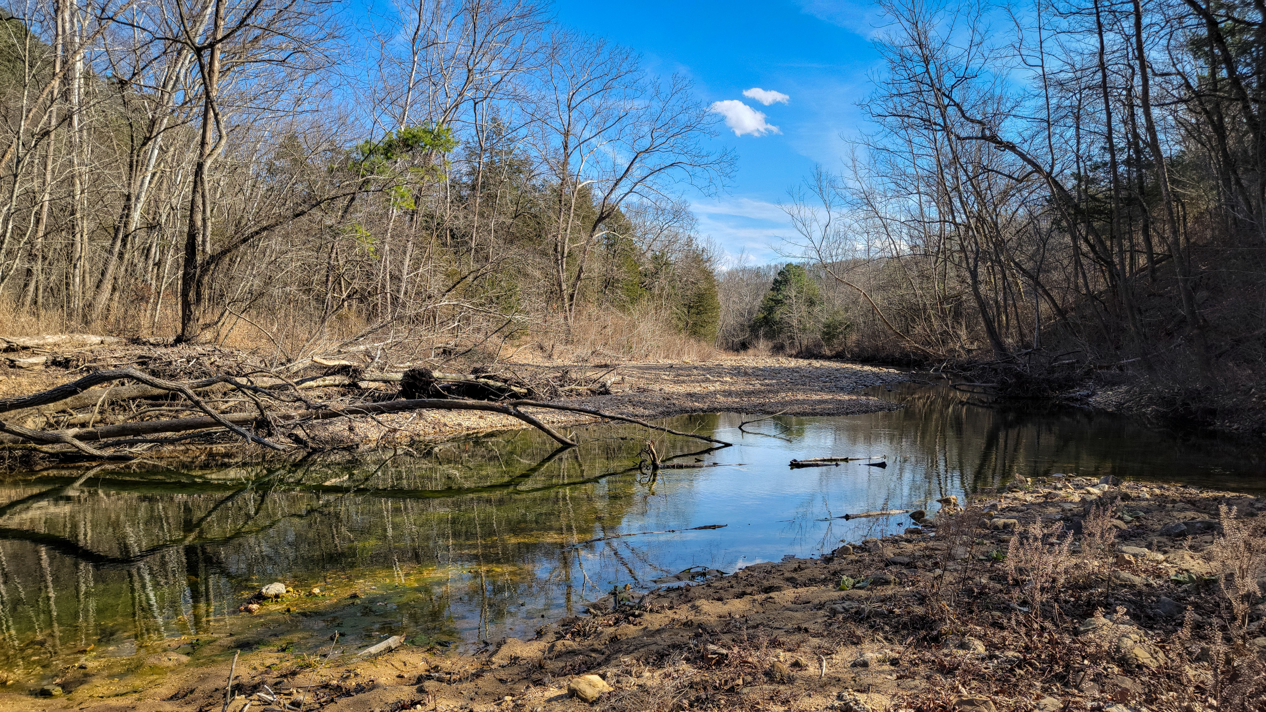
Big Paddy Creek was low enough to ford at the old crossing point

Big Paddy Creek was low enough to ford at the old crossing point — It’s the first time I’ve been able to cross here in quite a while. All the weed in the creek shows how low and slow the creek is at the moment. Backpacking the Big Piney Trail, February 2026. Copyright © 2026 Gary Allman, all rights reserved. 
The new Big Paddy Creek crossing point — It doesn’t get more than knee deep here when the water is up to your crotch (well with my little legs) at the old crossing point which was washed out a year or so ago. Backpacking the Big Piney Trail, February 2026. Copyright © 2026 Gary Allman, all rights reserved. -
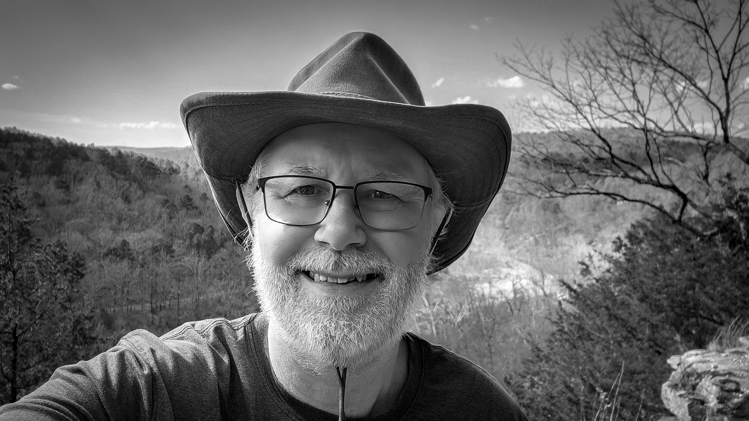
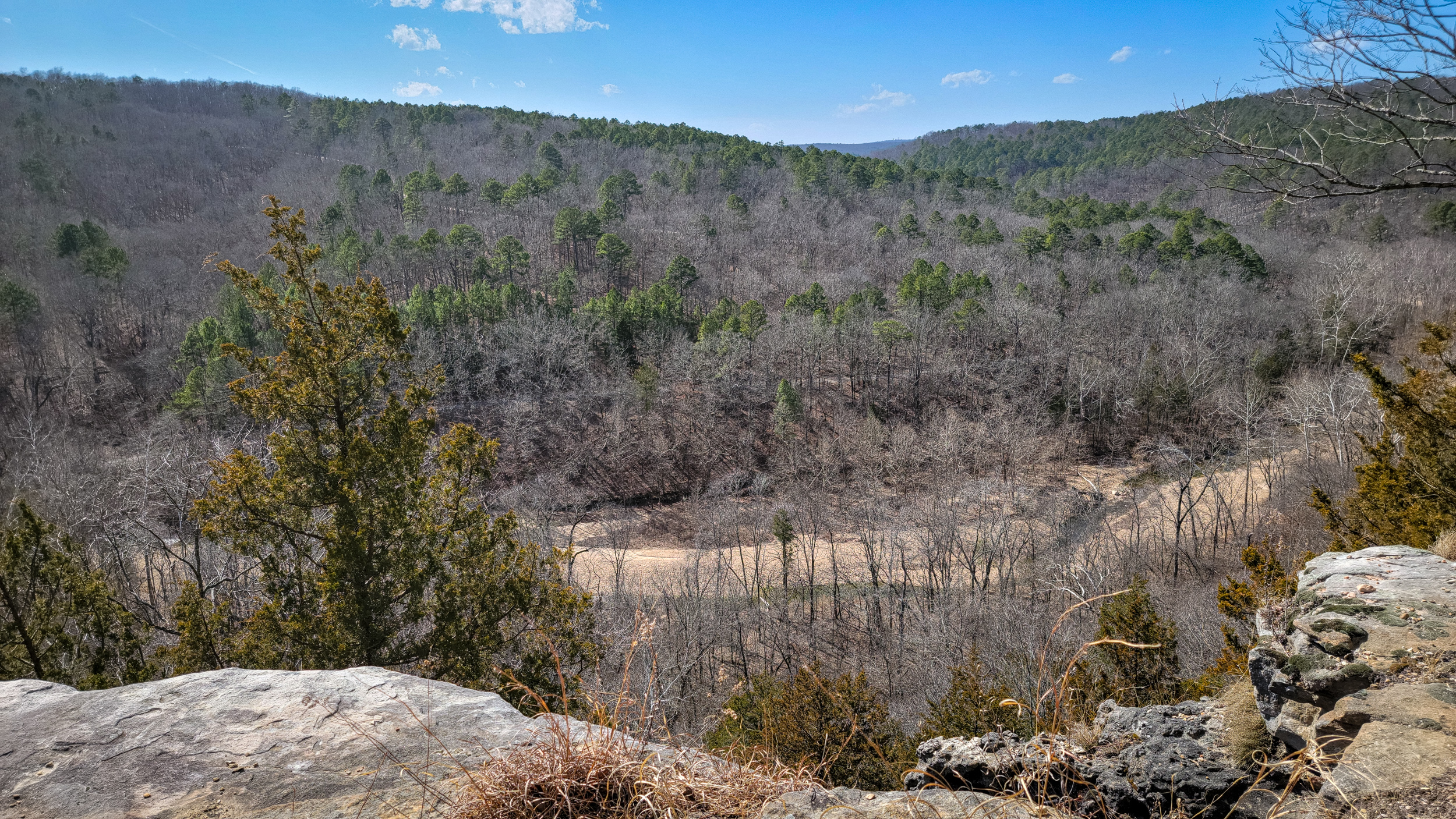
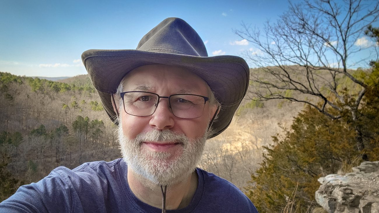
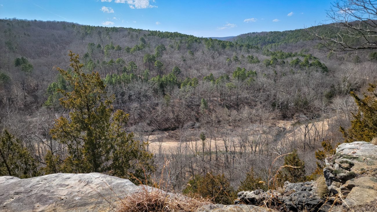
Gary at the Big Paddy Creek Scenic Overlook, Paddy Creek Wilderness

Gary at the Big Paddy Creek Scenic Overlook, Paddy Creek Wilderness — It was very windy up on the ridge, and the wind was quite chilly, which was nice as it was 82°F in the sun. This is another Ozarks view I never tire of. Backpacking the Big Piney Trail, February 2026. Copyright © 2026 Gary Allman, all rights reserved. It was very windy up on the ridge, and the wind was quite chilly, which was nice as it was 82°F in the sun.
This is another Ozarks view I never tire of.
There’s cell service here, and I checked the forecast for tonight and tomorrow. Lows of 24°F overnight, then 34°F and windy tomorrow. That’s not what I planned for when I packed my 40°F top quilt. But I have a plan, and all should be good. I just need to get to ‘Paddy Creek Trolltunga‘, and that’s a few miles and several hundred feet of elevation gain away.
-
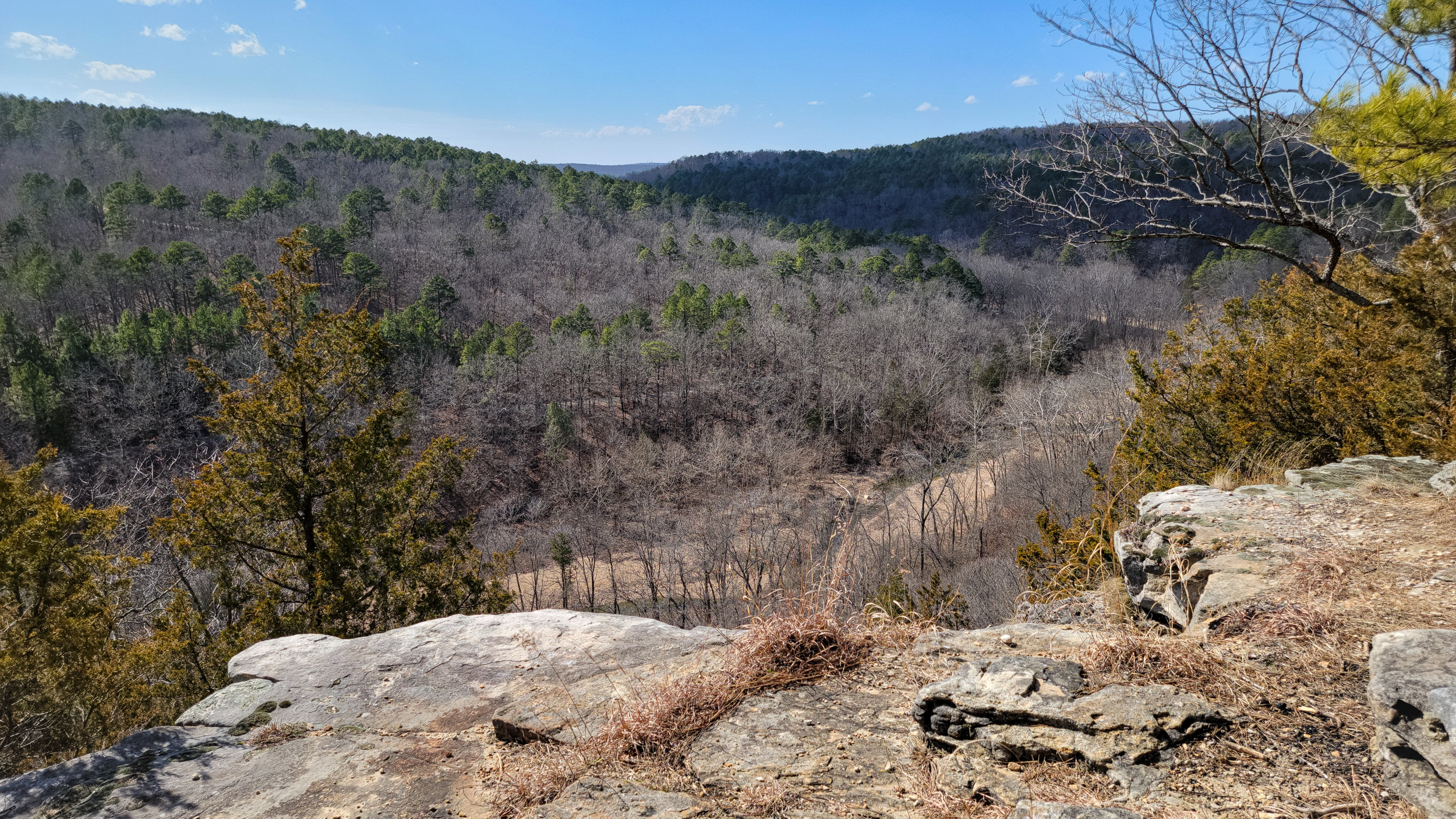
Big Paddy Creek Scenic Overlook, Paddy Creek Wilderness

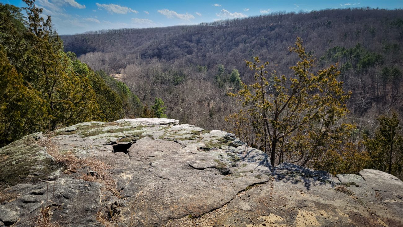
Big Paddy Creek Scenic Overlook, Paddy Creek Wilderness — I’ve taken pictures of this view before, but what the heck, here’s another. Backpacking the Big Piney Trail, February 2026. Copyright © 2026 Gary Allman, all rights reserved. I’ve taken pictures of this view before, but what the heck, here’s another. The road in the middle distance goes to the campground, the road running up to the top of the ridge is Paddy Creek Road. The trail crosses almost straight ahead in this image. I just have to get over there.
Big Paddy Creek Scenic Overlook, Paddy Creek Wilderness — Backpacking the Big Piney Trail, February 2026. Copyright © 2026 Gary Allman, all rights reserved. -
Big Paddy Creek Scenic Overlook, Paddy Creek Wilderness
Big Paddy Creek Scenic Overlook, Paddy Creek Wilderness — This is looking to the southeast. The campground is somewhere near the light patch in the distance. Backpacking the Big Piney Trail, February 2026. Copyright © 2026 Gary Allman, all rights reserved. -
Blazes? We don’t need no stinking blazes
Blazes? We don’t need no stinking blazes — Backpacking the Big Piney Trail, February 2026. Copyright © 2026 Gary Allman, all rights reserved. Yes I’ve used that image title before. Then it was on the Berryman Trail. I hope they are more restrained here. At Berryman the trees were thinned out to the point where there’s very little shade left for hikers, and it looked pretty bare.
-
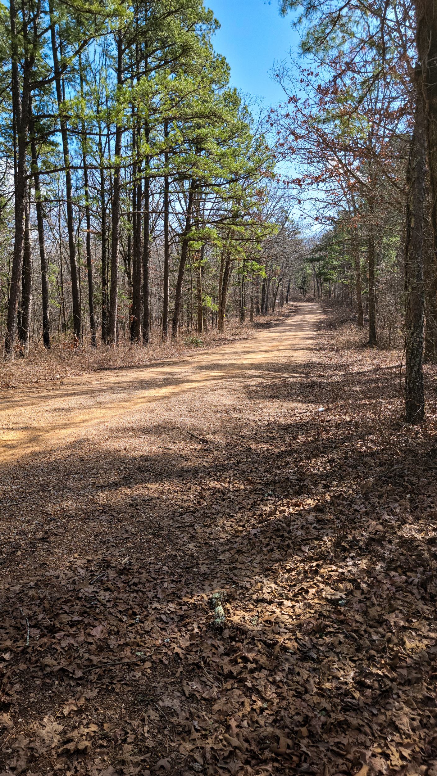
Paddy Creek Road Looking southeast, Big Piney Trail, Paddy Creek Wilderness — Day Two

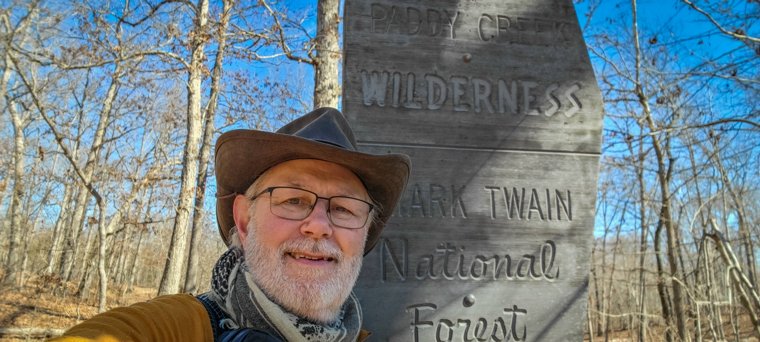
Paddy Creek Road Looking southeast, Big Piney Trail, Paddy Creek Wilderness — Day Two. Backpacking the Big Piney Trail, February 2026. Copyright © 2026 Gary Allman, all rights reserved. This is the first Paddy Creek Road crossing if you are hiking the trail clockwise. To the south of the road is Paddy Creek Wilderness, to the north, Mark Twain National Forest. We’re about to cross over into Mark Twain National Forest.
View across Paddy Creek Road to the northeast, Big Piney Trail, Paddy Creek Wilderness — Backpacking the Big Piney Trail, February 2026. Copyright © 2026 Gary Allman, all rights reserved. Where the trail continues is easy to see across the road. Not so much the second crossing of Paddy Creek Road, above the Paddy Creek Campground. There you have to go up hill a few yards to find where the trail picks up.
-
South Loop/North Loop Short Cut on the Big Piney Trail
South Loop/North Loop Short Cut, Big Piney Trail, Paddy Creek Wilderness. Backpacking the Big Piney Trail, February 2026. Copyright © 2026 Gary Allman, all rights reserved. South Loop/North Loop Short Cut, Big Piney Trail — just a short way further along the trail it drops down towards Little Paddy Creek. In that section I encountered some very thick wood smoke. Even though I know from experience that smoke can travel miles and still be very thick, it was a bit disconcerting!
This is my last picture of the day, and I didn’t take any pictures of my camp in ‘Spring Hollow’ either. The light was fading as I got to the point where I leave the trail, and rather than scrambling over huge boulders and down very steep hillsides in the diminishing light, I tried another route cutting into the hollow from the south after I had passed the shut-ins and spring. That worked, and I arrived just as it started to get dark. I was very pleased to see water running in the creek. The spring must still be running, despite the drought.
-
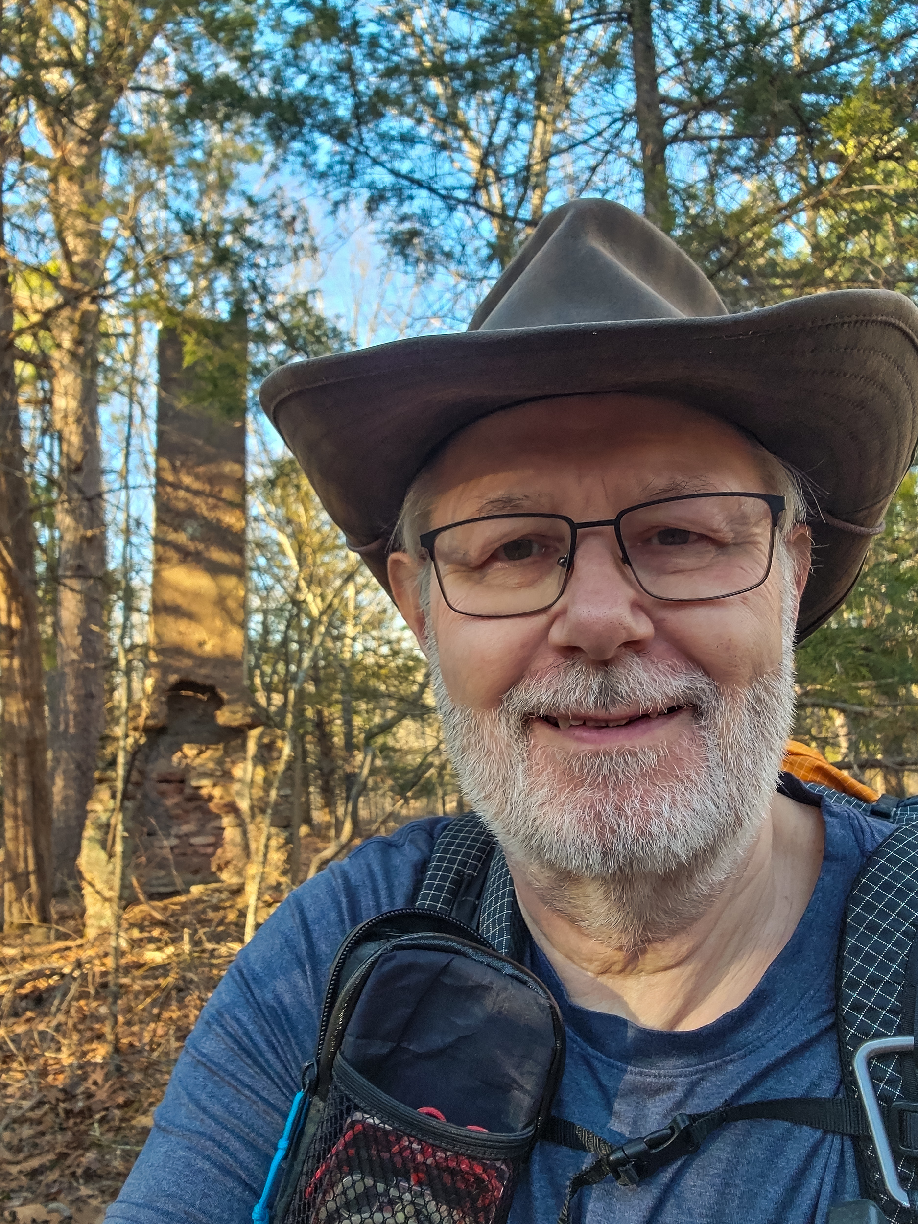
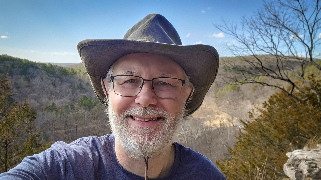
Gary on the Big Piney Trail, Paddy Creek Wilderness, February 2026

Gary on the Big Piney Trail, Paddy Creek Wilderness, February 2026 — Time for another quick selfie. It’s after four pm, and I have a couple of miles left to go. Backpacking the Big Piney Trail, February 2026. Copyright © 2026 Gary Allman, all rights reserved. -
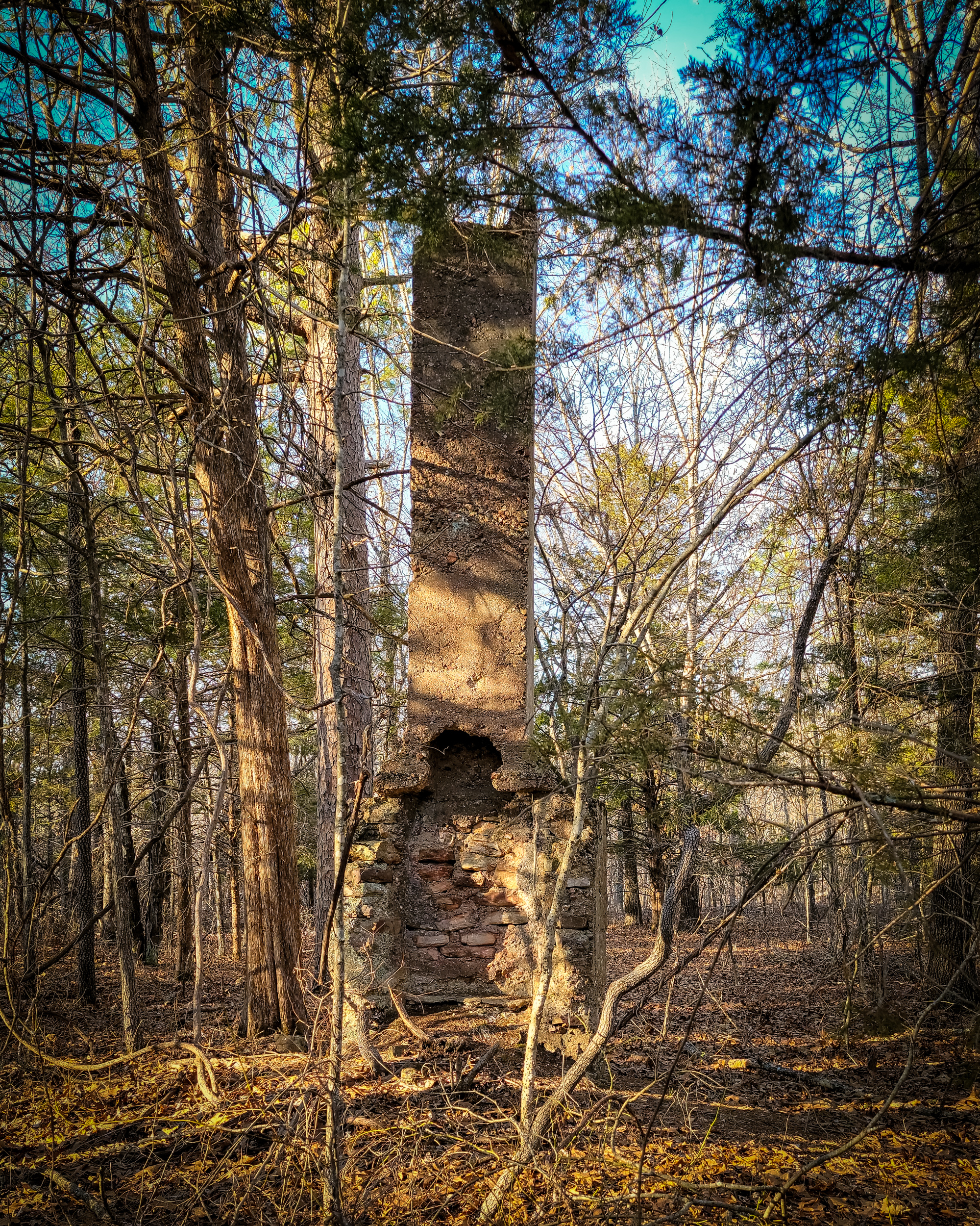
All that remains
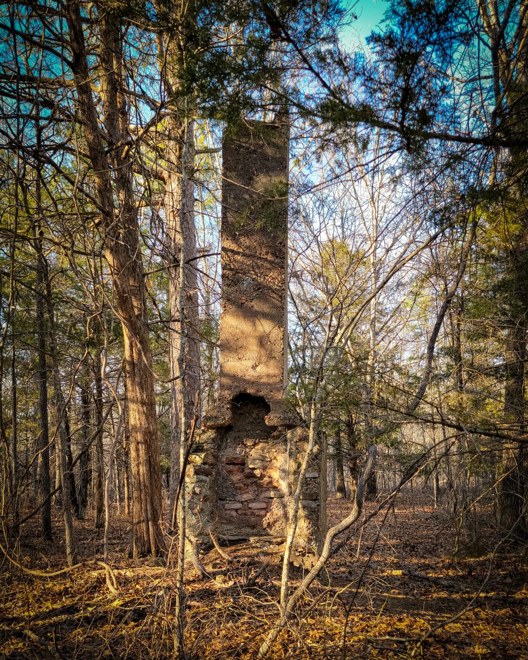
All that remains — Backpacking the Big Piney Trail, February 2026. Copyright © 2026 Gary Allman, all rights reserved. The homestead chimney at the junction of the South Loop and the shortcut to the North Loop, Paddy Creek Wilderness. There’s a well and circular foundation nearby too.
I’ve often wondered what it was like to live here, presumably after the area had been clear cut. There is evidence of several major old ‘roads’ to be seen in the wilderness near here.
From here I’m taking the Short Cut to the North Loop. And my hunch about the burn ban was right. There’s cell phone reception here and I received the ‘Red Flag’ notification while checking in with Ginger. It’s 16:10, and I have a couple of miles left to go.
-
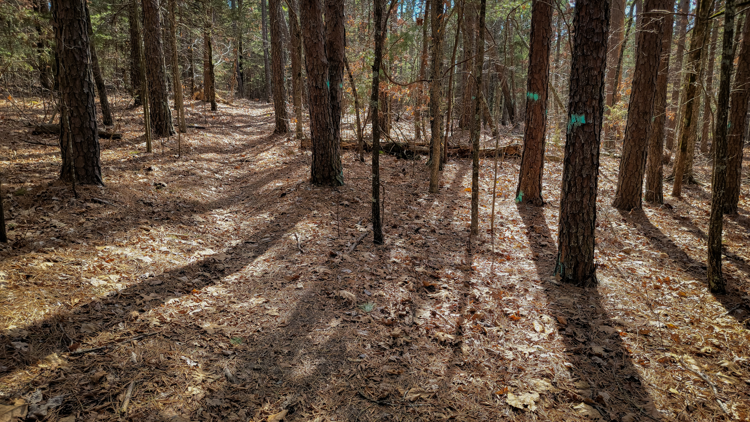
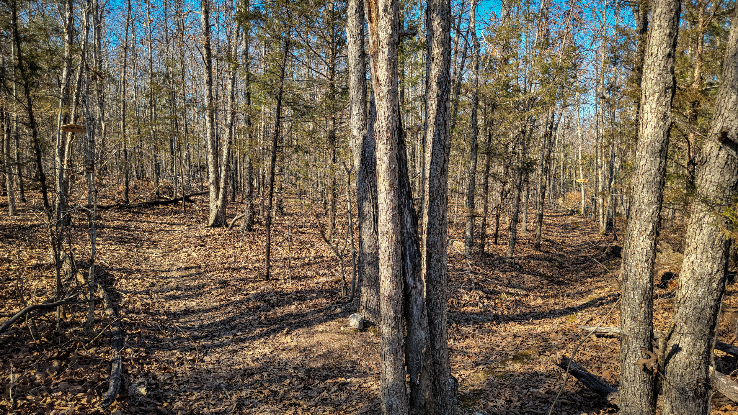
Big Piney Trail
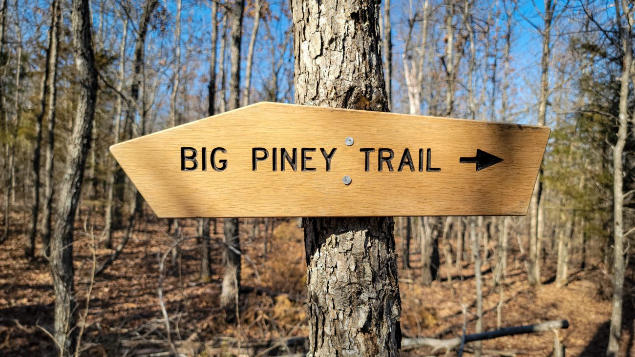
Big Piney Trail — these signs are easy to spot when they are new, but after a year or so they go gray and almost invisible unless you know to look out for them. Backpacking the Big Piney Trail, February 2026. Copyright © 2026 Gary Allman, all rights reserved. -
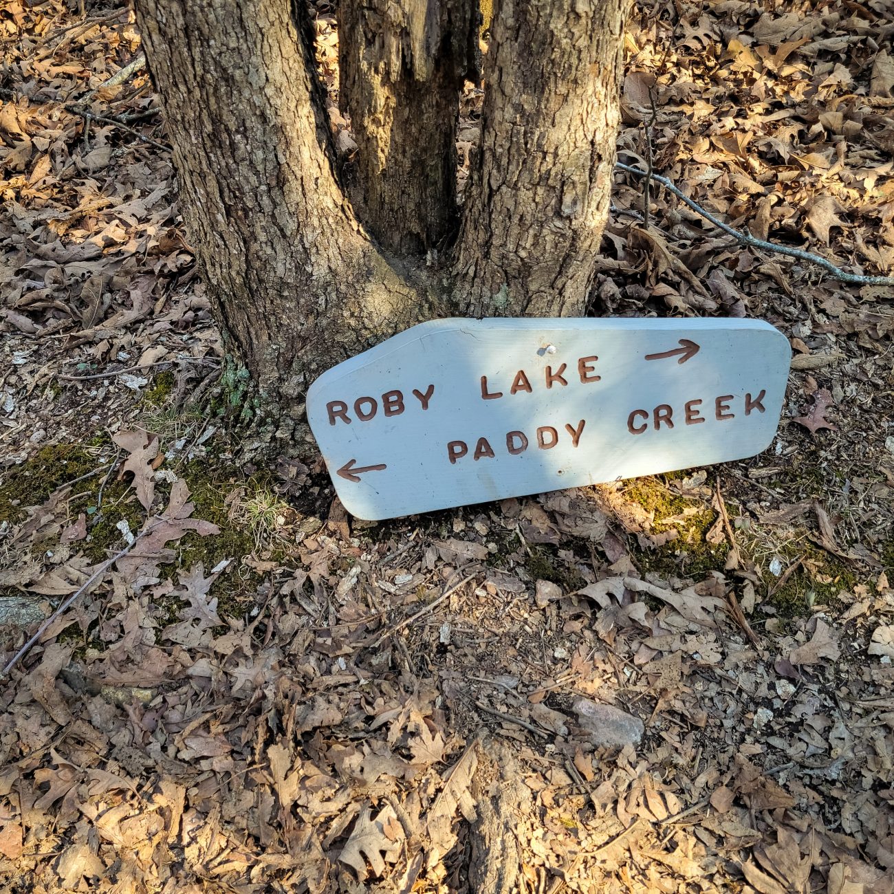
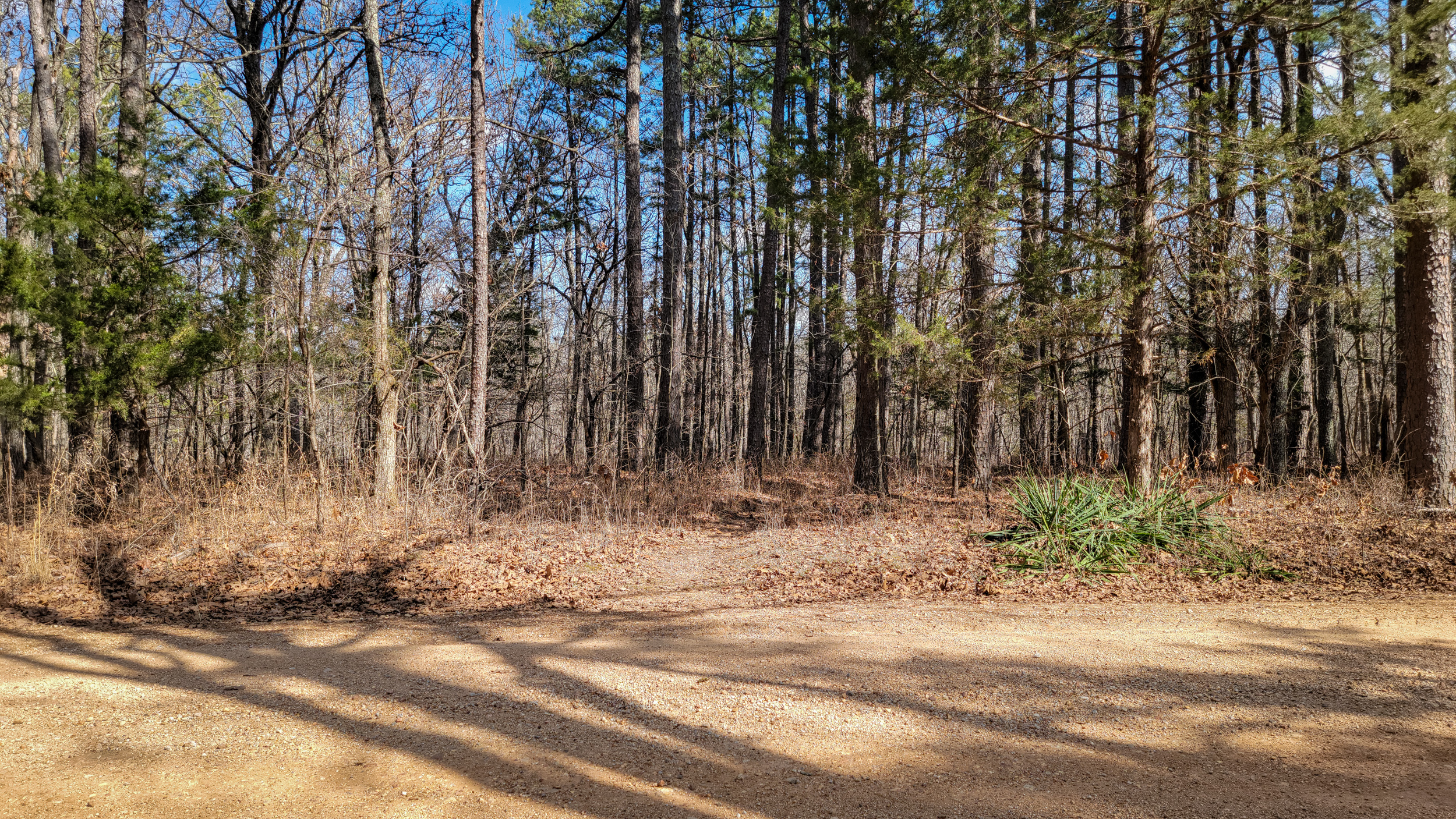
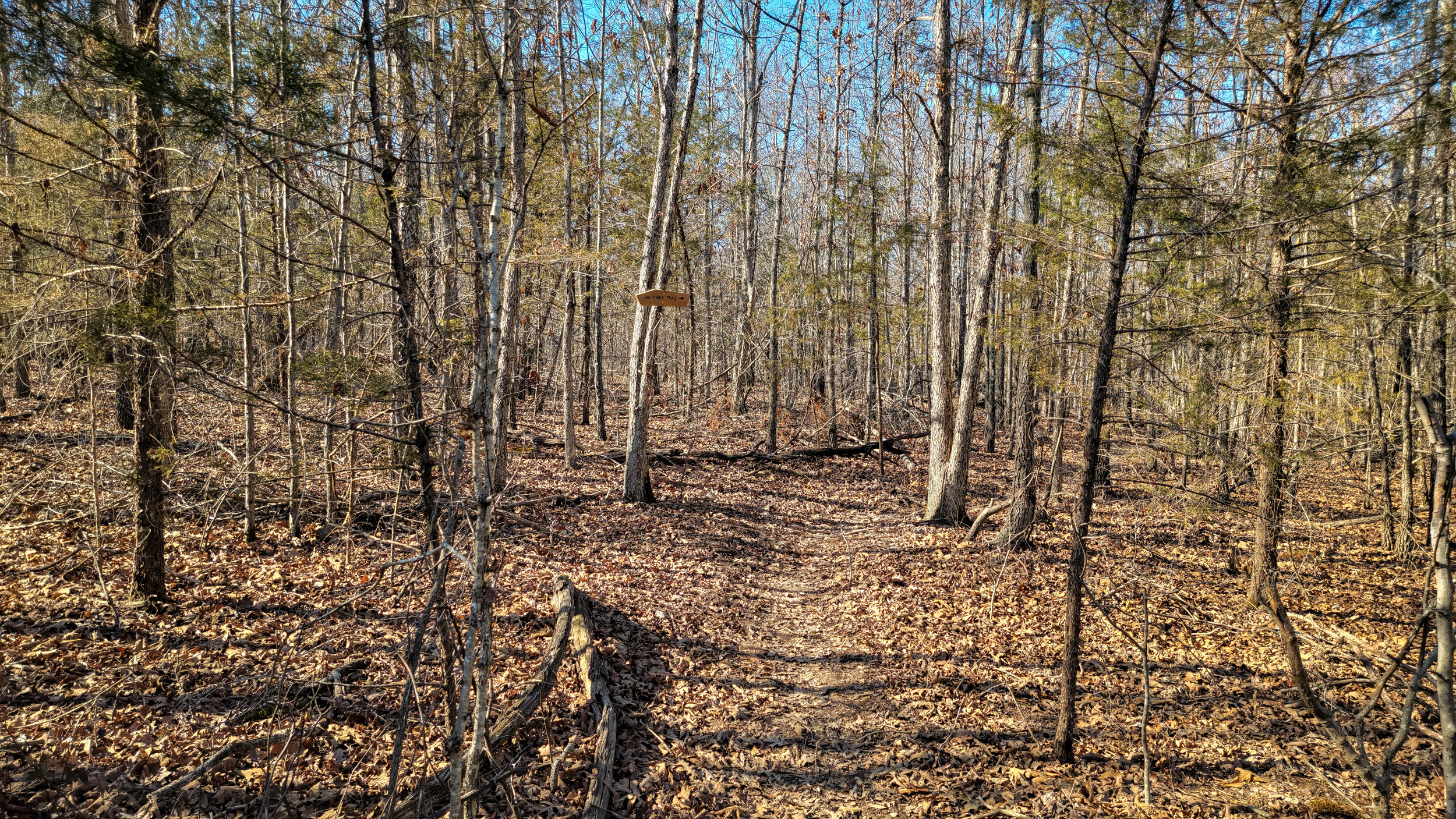
New Trail junction on the Big Piney Trail

New Trail junction on the Big Piney Trail — Backpacking the Big Piney Trail, February 2026. Copyright © 2026 Gary Allman, all rights reserved. Back in December 2024, I met a Forest Ranger and a couple of guys near the Roby Lake trailhead. They’d been surveying the North Loop between the trail junction and the falls assessing changes to the trail, as it had become eroded and rough in places. That work looks to have been completed, and the start of the South loop has been rerouted too. According to my GPS, this junction is located a tenth of a mile from the old trail junction. For the North Loop, take a left, for the South Loop, go straight on.
My only concern about this change is that the most popular route for ‘Sunday afternoon hikers,’ the North Loop to the Falls and back, is not clearly identified. There is no mention of North/South Loops or the falls on the signs to help people who don’t have maps or know the area. Wildernesses are not supposed to have blazes and signs, but more blazes and signs seem to be appearing all the time.
According to another Ranger I met a few years ago, this has been driven by a need to cut rescue efforts and cost. Cell phones have emboldened people to venture out without the necessary preparations and gear, which means they get lost, or into difficulties. To my mind leaving the trail names off these signs defeats the reason for having them in the first place.