2025

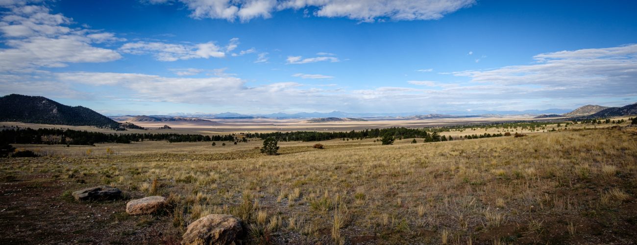
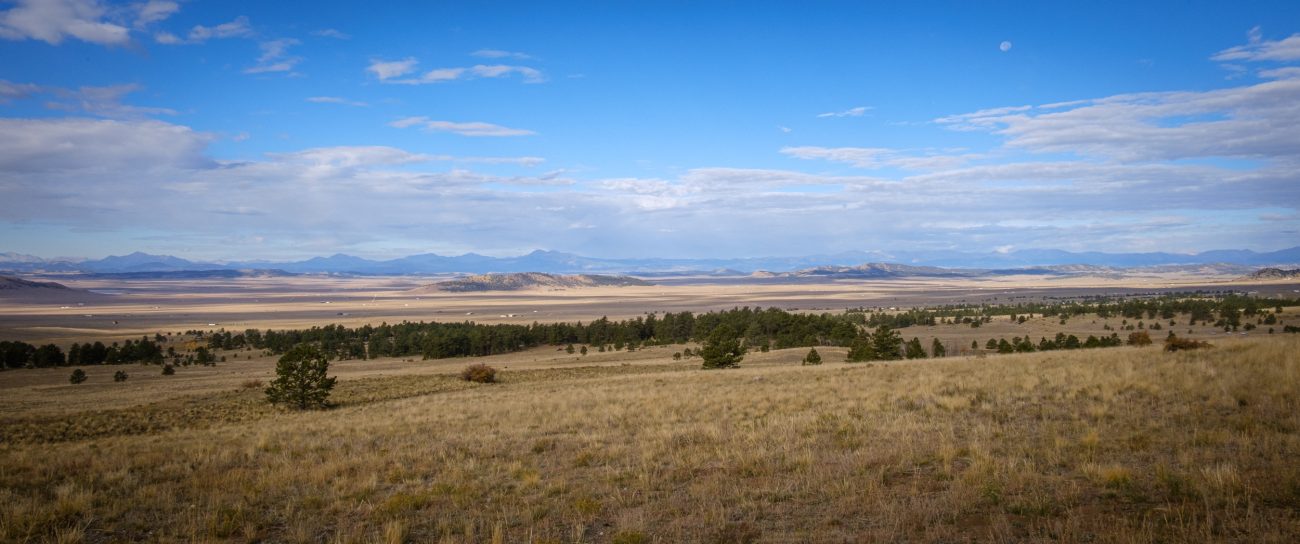
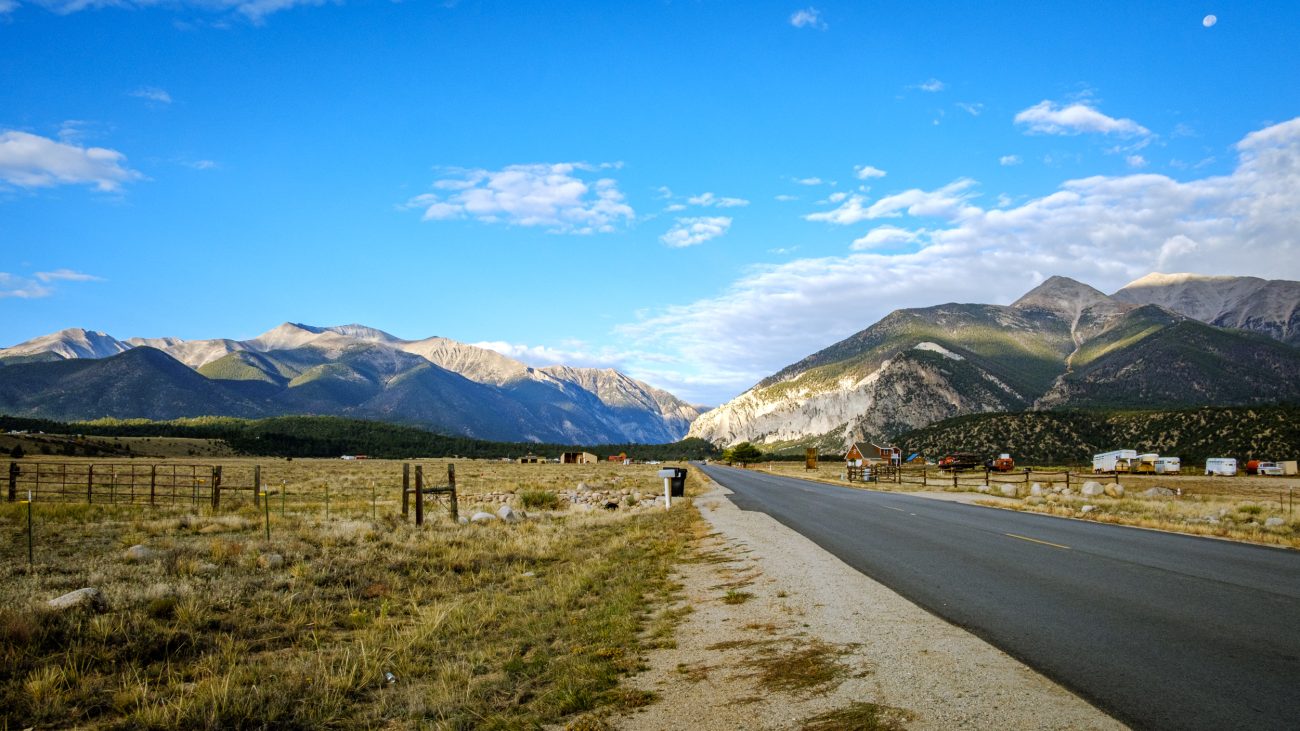
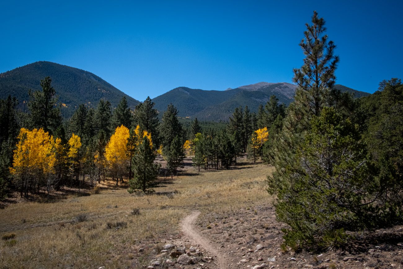
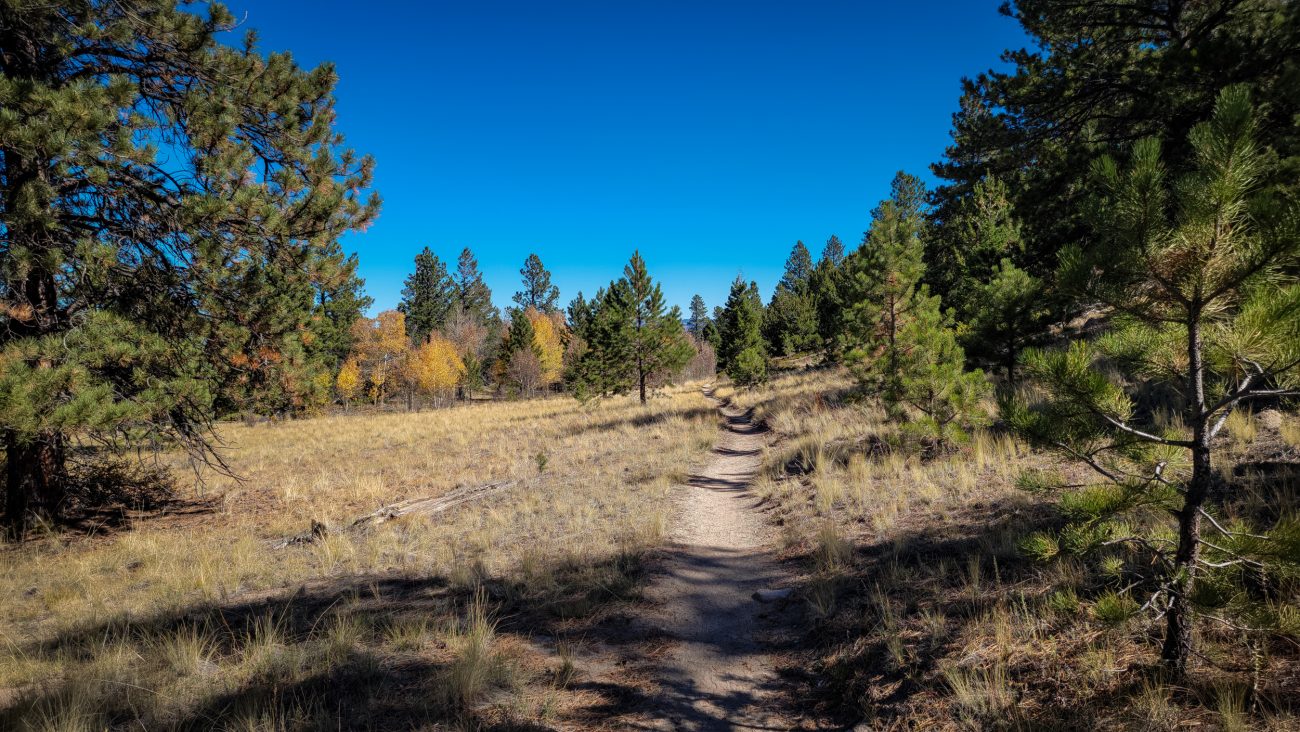
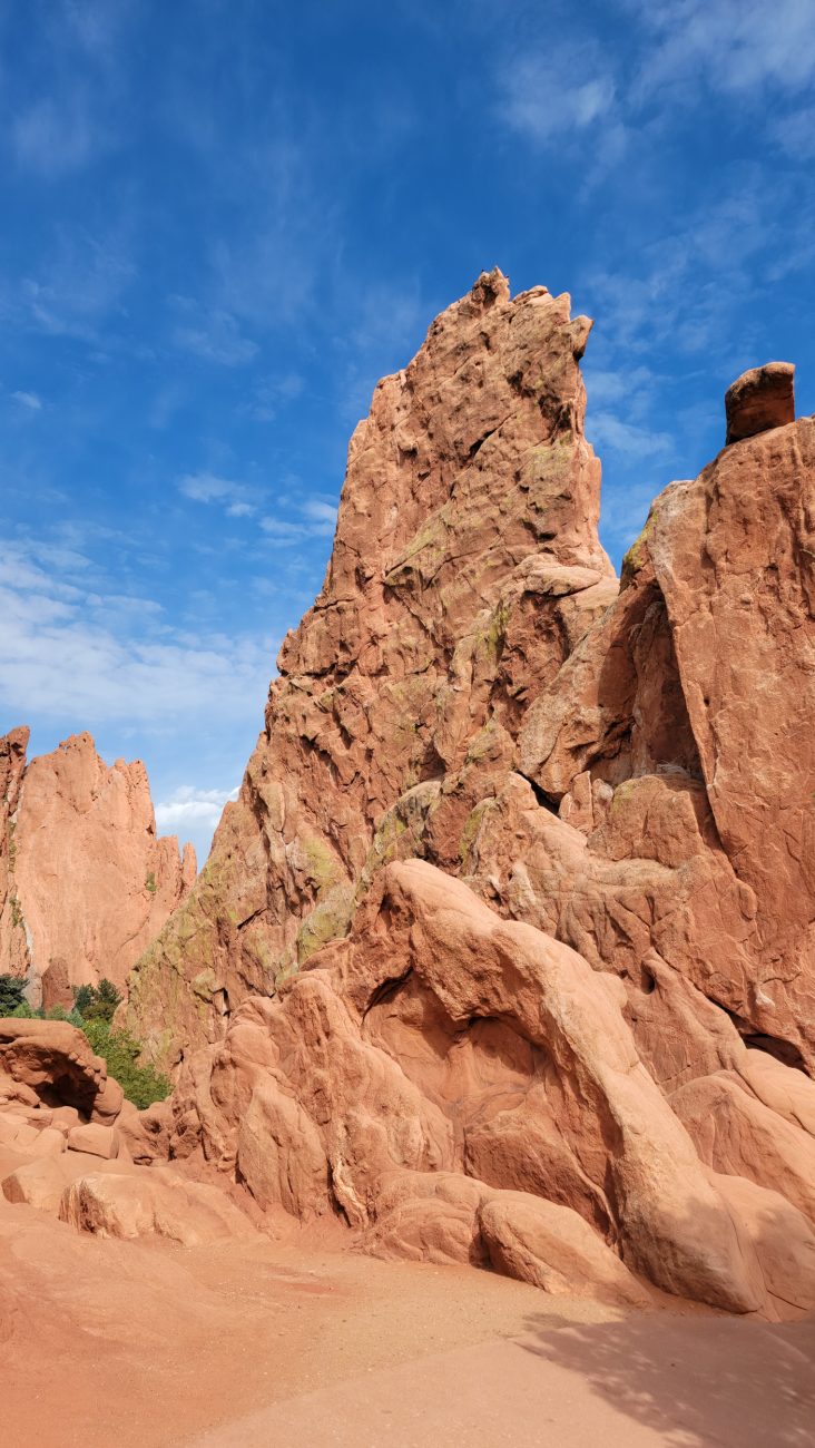
The Garden of the Gods, Colorado Springs — I arrived in Colorado Springs on time. Now what? We’d booked a hotel in Colorado Springs so that Ginger could take a rest, and I could get cleaned up ready for the next part of our trip. Our hotel room wasn’t ready, so we went for a quick walk around some of the more popular parts of the Garden of the Gods.

The sudden shock of being confronted with the expanse of the plains — I saw this picture — well, one like it — while driving north on Day 3 and made a note to take a picture on the return trip, except I couldn’t find the exact viewpoint I’d found, which is a shame because it was a much better composition. Oh well, this photograph will have to do.

Plains and mountains — Seen from Hwy 24, Colorado. The Rocky Mountains are striking, but the unexpected plains between them took my breath away. Driving across the plains for miles and miles was humbling.

Leaving Chalk Creek Canyon — I hadn’t gone far before the scenery in the rearview mirror begged me to stop and take a picture.

Sunshine on the cliff tops — Just after seven the sunlight caught the tops of the cliff behind the campground. Time for a quick picture, finish packing everything away in the car, and get on my way.

Day 9. Pre-dawn light — It’s six-thirty, and I have to be in Colorado Springs shortly after ten. I allowed plenty of time to wake up and get ready to go. This was the view that greeted me when I got out of the tent.

Well staked out — It’s been very windy, so I used all the tie out points on Ginger’s Zpacks Duplex tent. I also used the freestanding kit so I didn’t have to collapse the tent to use my hiking poles for hiking.

Entrance to the Cascade Campground — Looking out towards the road.

Back to the start and some trailside pumpkins — I saw these near the start of the trail. Hike totals: 6.5 miles and 1,300 ft. of elevation gain/loss.

Nearly down — it took me around fifty minutes to get here from the top of the ridge.

Trailside deer — the deer here are not timid, there were three in this group, but the others were enjoying an afternoon snack behind the cover of some bushes, so I could only get a picture of this one.

A brief respite — The trail levels out briefly in places.

Looking up the trail — Going up was much easier than coming down. I have just noticed that I can see my footprints going up the trail in this picture.

The views continue to impress me.

Descending — The long trudge down the ridge has begun. The trail is steep and sandy at the top, making for a very loose footing.

A last look to the southeast — before dropping back down into Chalk Creek Canyon, I popped over to the other side of the ridge for one last look at the view across the plains to the southeast.

The endless play of light — I stayed here for several minutes watching the ever-changing light move across Chalk Creek Canyon. 2

Chalk Creek Canyon — I couldn’t resist taking a picture of Chalk Creek Canyon framed by this tree and bush. It was windy and the light was changing rapidly as the clouds moved across the sky.

Getting near to the top — Looking southwest. A glimpse of the trail can be seen at the bottom of the frame. It’s looking quite rugged, and it was.

Time to head back up the ridge — At least it’s only 300 ft. on this side. But I still have 900ft. to descend on the other side.

Heading back — Look carefully, and in the middle distance, you can see the ridge I’m going to climb.

Turnaround Point, and stopped for lunch — According to my calculations, I was about three-and-a-half miles into my hike, and this log offered a great view and spot to eat lunch.

Descending — Nearly down the south side of the ridge, and the trail is leveling out. It was quite rugged in places.

I could almost be in Hercules Glades — If the Glades were at around 10,000ft, that is. I’m following the trail as it runs along the northern side of the ridge.

Scroll to Top